Record high temperatures possible into Friday
Rain and storm chances will stick around into the weekend
Our extended stretch of unseasonably mild air continued on Thursday even with more clouds and scattered showers around. We started out the day dry in most spots before a larger area of rain and storms moved through the commonwealth ahead of a wave of low pressure. Once again the favored area was along the I-64 corridor with drier and more scattered activity down south. This caused quite the temperature gradient from across the area with upper 50s and low-60sa up north with low to mid-70s down south. Those areas that did see the 70s enjoyed another spring-like day and we should see that across the board into Friday.

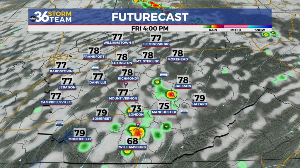
Closing out the week on Friday, the frontal boundary should be well to our north, allowing for a steady southwest wind to feed more unseasonably warm air into the commonwealth. With less storm coverage and hopefully a few breaks in the clouds we are looking at the potential of a few record high temperatures across the region. Afternoon highs should surge into the upper 70s to around 80 degrees in some locations so it should feel pretty amazing to be out and about. The record high for Lexington on Friday is 77 degrees set back in 1973 and we have a legitimate shot at topping that number.


Heading into the weekend a legitimate cold front will roll through the Ohio Valley bringing a return of showers and thunderstorms to the area. Of course the timing could be better given it’s a Saturday and any outdoor plans you may have so just keep that in mind. This is the chance that a few of the storms could be on the strong to severe side as the Storm prediction Center has all of Kentucky in a Level 1 severe risk (out of 5) with parts of Northeastern Kentucky in a Level 2 risk. Damaging winds look to be the main threat so just keep an eye on the weather Saturday. Afternoon highs will be in the low to mid-70s Saturday before dropping off into low to mid-60s Sunday as the front drops south of the commonwealth. It should still be a pleasant finish to the weekend despite the ” cooler” air as readings will still be around 10 degrees above average to go along with mainly dry conditions.


We’ll climb the temperature ladder pretty quickly into early next week as a southwest flow kicks back into the area so look for temperatures to recover pretty rapidly into Monday and Tuesday. The beginning of the week looks mainly dry with highs back in the low-70s before scattered showers make a return on Tuesday. A more significant system looks to move into the region by the middle part of next week as a cold front slides through the Ohio Valley once more so organized rain and storms may be on the table again. Much of the data is showing a brief but more significant cool down late next week with afternoon highs only in the 40s by next Thursday.

ABC 36 Storm Team 3 Day Forecast
Thursday night: Mild with isolated showers. Lows in the upper-50s to around 60 degrees. Wind: S 5-10 mph.
Friday: Breezy and warm with record highs possible. Highs in the mid to upper-70s. Wind: SW 10-15 mph.
Friday night: A few clouds, breezy and warm. Lows in the low to mid-60s. Wind: SW 10-15 mph.