Quiet with average February temperatures heading into the weekend
The only speed bump could be a mix of rain and snow showers in far Southeastern Kentucky on Sunday
It was a quiet and cloudy finish to the week across Central and Eastern Kentucky Friday, which was a much different story than Thursday with all the strong and damaging winds. With the clouds in place, afternoon highs struggled to reach the upper 40s with a few spots down south flirting with 50 degrees.
Speaking of clouds, social media was abuzz late Thursday given the ominous and interesting cloud formation that came drifting into the Bluegrass just before sunset. It gave the appearance of “mountains” in the distance as it moved in. So what caused it? We had full sunshine ahead of the frontal boundary with a mid-level cloud deck drifting in behind the front. In this case it was all about timing as the cloud deck moved into the Lexington area right at dusk. This allowed the setting sun to “back light” the approaching clouds, giving them a dark, ominous look which could easily be confused as mountains if you didn’t know any better.
As high pressure builds in from the west on Saturday, our weather looks pretty nice to kick off the weekend. After temperatures into the mid-20s to start, afternoon highs should recover into the mid to upper 40s with lots of sunshine, which is right where we should be for this time of the year.
We are still looking at the potential of some rain/snow showers in our far southeastern counties on Sunday as an upper level low clips that part of the state moving up the Eastern seaboard. There should be a sharp gradient in temperatures and conditions from southeast to northwest Sunday. The highest elevations of Southeastern Kentucky above 1500 to 200 feet could see a bit of snow accumulations with more of a mix of rain/snow in the valley areas. Temperatures should be hovering in the mid-30s there, while back in the Bluegrass temperatures should run all the way into the upper 40s with some sunshine so that’s how drastic a cut-off it will be.
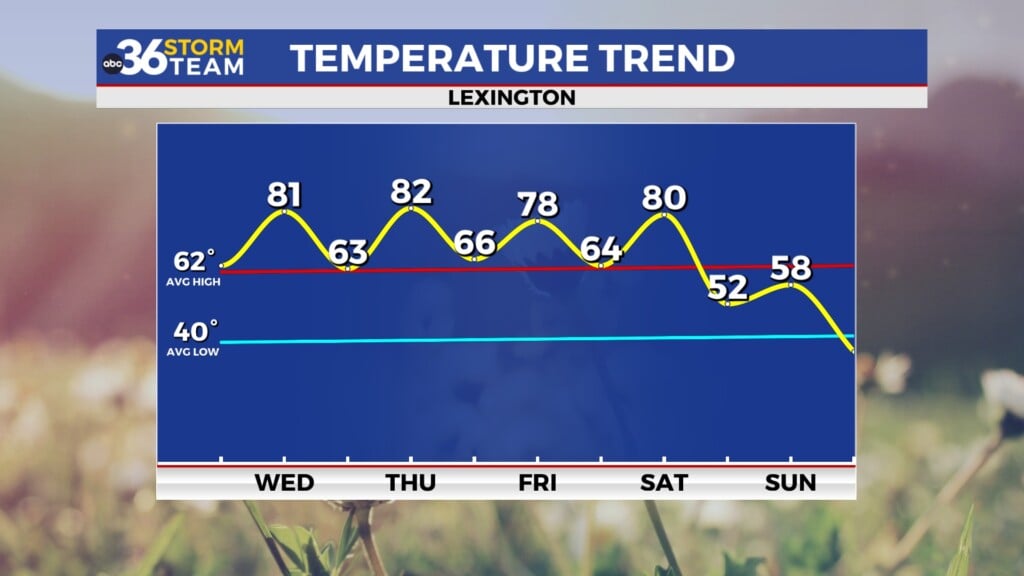
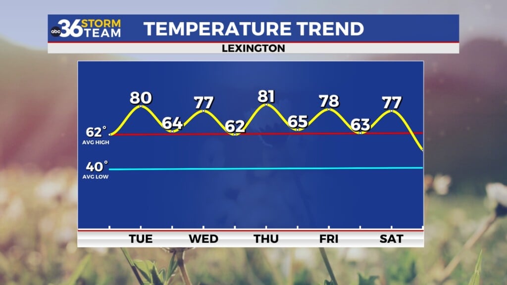
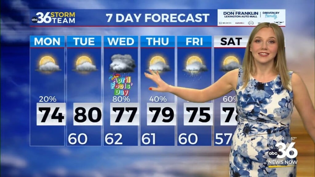
After a dry start to next week, a few showers will be possible late on Valentine’s Day before we see a brief window of dry weather as the southwest flow kicks in fully. This should drive afternoon highs toward the 70 degree mark on Wednesday and Thursday, a solid 20 degrees plus above average for mid-February. A stronger storm system will arrive Thursday with the possibility of stronger storms before temperatures crash into the 30s by next Friday. Stay tuned!
ABC 36 HOUR FORECAST
FRIDAY NIGHT: Slow clearing and cold. Lows in the mid-20s.
SATURDAY: Lots of sun, less wind. Highs in the mid to upper 40s.
SATURDAY NIGHT: A few clouds and chilly. Lows in the low-30s.


