Quiet mid-April weather on tap for the mid-week
Temperatures will slowly moderate over the next few days
After a blustery, stormy Monday—especially for our friends across Eastern Kentucky who saw a few strong, hail-producing thunderstorms—Tuesday brought a much-needed breather. Sunshine peeked out early before scattered clouds filtered in thanks to a pocket of cooler air aloft. Temperatures took a tumble topping out in the mid to upper 50s, and a brisk west wind kept things feeling even chillier throughout the afternoon as winds gusted over 35 miles per hour at times. It may not have been jacket weather by winter standards but after Monday’s spring surge, it certainly felt like a cool reset.
Midweek Calm Under High Pressure
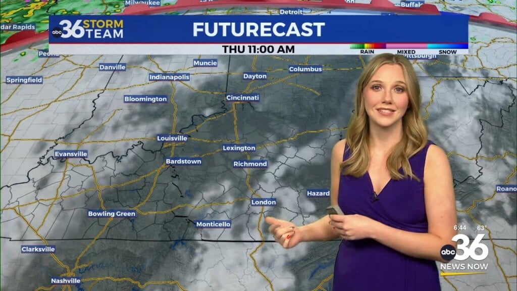
We’re settling into a quieter stretch as high pressure takes charge over the Ohio Valley. Expect chilly mornings over the next couple of days—with some areas especially valleys, flirting with frost Wednesday night into Thursday morning—but afternoons will feel more pleasant with sunshine and a warming trend. Highs will climb back into the 60s Wednesday, then upper 60s to near 70 degrees by Thursday. While a warm front approaching from the west could throw a little more cloud cover our way Thursday afternoon, rain chances stay very low. It’s the kind of spring weather that invites a walk around the neighborhood or an early evening on the patio.
Spring Surge Returns by Friday—Then Unsettled for Easter Weekend
As we close out the workweek, that warm front arcs north and opens the door to a big temperature boost. Friday looks fantastic with highs soaring into the upper 70s, even brushing 80 degrees in a few spots. However, that warming trend comes with a cost—our next weather maker arrives just in time for Easter weekend.
A cold front will stall across the region Saturday into Sunday, increasing the potential for scattered showers and thunderstorms. It won’t be a washout, but you’ll want to have a backup plan for any outdoor Easter egg hunts. The best chance for more widespread storms appears to be Saturday afternoon and evening and we may have to watch the chance for a few strong storms as the Storm Prediction Center has much of the state in their extended severe weather risk for Saturday. It’s just something to monitor in the coming days. Just how far south the front drops will be key to where the rain chances are this weekend. Sunday should bring lower rain chances as the front briefly sags south—but it won’t stay away long. Another system developing over Texas will push that boundary back north on Monday, keeping scattered storm chances in play as temperatures hold steady in the mid-70s.
Tuesday Night: Mostly clear and chilly. Lows in the mid to upper-30s. Wind: W 5-10 mph.
Wednesday: Mostly sunny and pleasant. Highs in the upper-50s and low-60s. Wind: NW 5-10 mph.
Wednesday Night: Fair skies, still chilly. Lows in the upper-30s. Wind: W 5 mph.


