Quiet and milder weather this first week of November
Highs should jump back through the 60s mid-week
After a cool and damp finish to the first weekend of November, It was a foggy start to Monday across much of Central and Eastern Kentucky with visibilities less than 1/4 of a mile at times which made the morning commute rather challenging. Once the fog burnt off, it turned out to be a nice day with some much needed sunshine and afternoon highs back into the upper 50s to around 60 degrees so it was a good start to the week.
Look for more patchy dense fog and chilly temperatures to kick off Tuesday with lows in the mid-30s along with reduced visibility. High pressure will be drifting in from the southwest providing another pleasant early November day once the fog dissipates by mid-morning. Expect more sunshine and a slight bump in temperatures as afternoon highs climb back into the low 60s across the board, which is right around average for this time of the year.
The mid-week will feature a weak frontal system dropping in from the northwest into the Ohio Valley but we aren’t expecting anything in the way of rain out of this. What we will see is breezy conditions and temperatures above average for early November so it should feel pretty decent on Wednesday. The combination of gusty southwest winds at 20 to 25 miles per hour along with the sunshine should help push afternoon highs back into the upper 60s with a few spots down south reaching the 70 degree mark! Temperatures will drop back a few degrees in the wake of the departing front but sunshine will stay put so look for another good day on Thursday with highs in the low-60s.
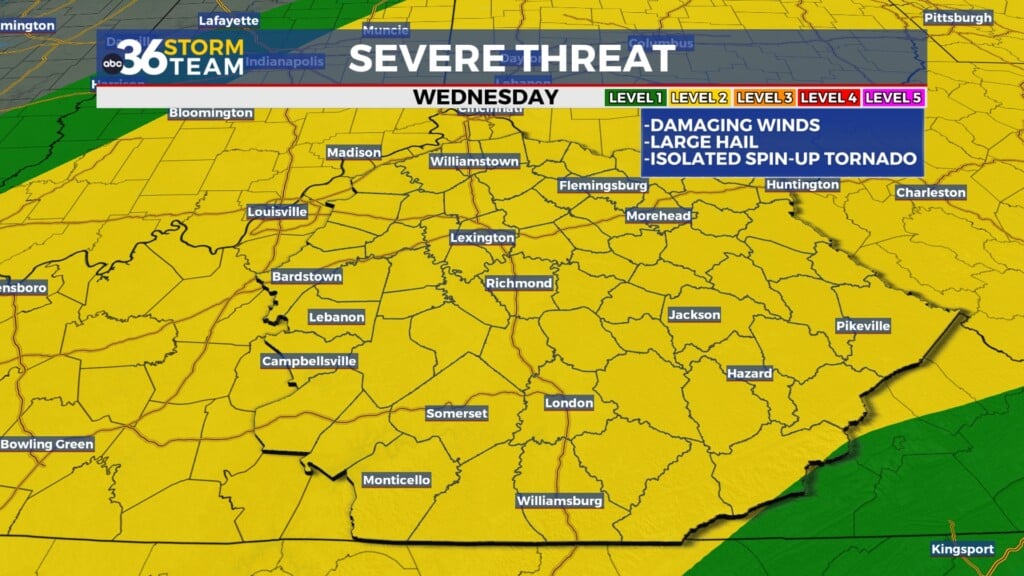
Our weather looks more active to close the week on Friday with another storm system bringing a better chance for rain and a few thunderstorms along with plenty of wind. Winds could gust over 40 miles per hour and we’ll have to keep an eye on the potential of a few strong storms to go along with the gusty showers but we still have a few days to monitor that. Temperatures will surge into the upper 60s for highs and of course the weather could be impactful for the first round of high school football playoffs on Friday evening.
Heading into the weekend it looks dry to start as we’ll be in between storm systems with this more active pattern. Look for a mix of clouds and sunshine along with afternoon highs cooler but nice into the upper 50s. Right now it looks dry and cool for Kentucky and Florida out at Kroger Field Saturday night with a 7:30 p.m. kickoff. Another front will bring more rain showers into the area on Sunday and this front will be the leading edge of our first legitimately cold air-mass of the season. As the cold air rotates in, along with some upper level energy, it’s possible we could see our first snowflakes of the season about a week from now, which isn’t all that unusual as we get into the early part of November. Typically these are non-impacts events with just a few flakes flying around and just a reminder that winter is slowly approaching. We’ll keep an eye on that potential in the coming days.


