Quiet and cooler weather to close out April
Afternoon highs will stay below average heading into Derby weekend.
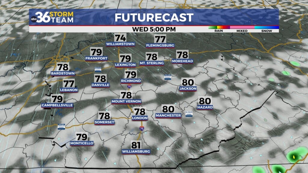
With a wave of energy sliding through the commonwealth it was a damp and dreary Wednesday across Central and Eastern Kentucky with scattered showers and a few rumbles of thunder around. It was a win/win scenario as we didn’t have to be concerned with strong to severe storms for the first time this week and we saw some beneficial rainfall, which is much needed given the on-going drought across the region. With the frontal boundary pushing to the east along with all the clouds around, afternoon highs struggled to reach the mid-60s here in the Bluegrass (even with a peeks of sunshine) with upper 60s in the southeast. This overall cooling trend will continue into the late week and for the first weekend of May.

High pressure will build into the Ohio Valley for the final day of April so it looks like a very pleasant way to finish out the month on Thursday. With plenty of sunshine around and a light northwest wind in place, afternoon highs will only climb into the low-60s, which is about 10 degrees below average for this time of the year but nevertheless it should be a pretty nice day to be out and about.

Heading into Oaks Day on Friday, the unseasonably cool air will be hanging around as a weak boundary slides in from the northwest. This system will bring some scattered cloud cover and the potential of a stray shower or two but most locations will be dry. Afternoon highs will reach the low-60s once again so it will be pleasantly cool to kick off the new month. The aforementioned boundary will usher in a reinforcing shot of cool air so heading into Derby Day on Saturday temperatures will stay below the curve for early May. Make sure and dress accordingly if you are headed over to Churchill Downs for the big race or to any Derby parties around the area as afternoon highs will only reach the upper 50s here in Central and Eastern Kentucky with low-60s expected over in Louisville. Most importantly it will be a dry and sunny day, a far cry for the damp and dreary conditions last year so enjoy the tranquil conditions whatever you may be doing.


It may get cold enough Sunday morning for some patchy frost in the sheltered valleys areas as temperatures start the day in the mid to upper 60s. We’ll start to slowly climb the ladder as high pressure begins to drift to our east. The second half of the weekend should be very pleasant with more sunshine and temperatures climbing a few degrees back into the low-60s for afternoon highs. Early next week much of the data is showing multiple boundaries and waves of energy sliding in from the northwest, which will slowly increase our shower and storm chances during that window. The timing and placement of these systems isn’t syncing up yet so for now look for low end shower chances into the middle part of next week with afternoon highs climbing back into the upper 60s and low-70s.


ABC 36 Storm Team 3 Day Forecast
Wednesday night: A few clouds, breezy and cooler. Lows in the mid-40s. Wind: NW 10-15 mph.
Thursday: Mostly sunny and pleasantly cool. Highs in the low-60s. Wind: NW 5-10 mph.
Thursday night: Scattered clouds, a bit chilly. Lows in the mid-40s. Wind: NW 5-10 mph.