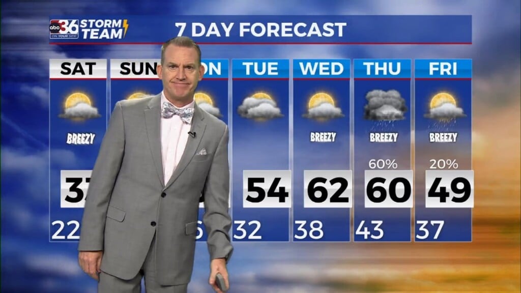
One more frigid night before temperatures warm up

Meteorologist Jordan Smith has your Saturday evening ABC 36 Storm Team forecast

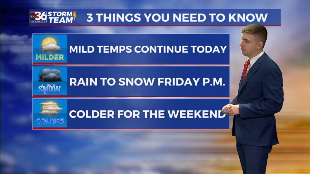
  Lexington, Kentucky (WTVQ – ABC 36): Good Saturday evening everyone, steady snow pulled away from the state this morning and that has left us with bitter cold air and a few flurries. Highs today were only in the upper 20s to low 30s. By tonight it is down right FRIGID with temperatures hitting the mid to upper teens. Wind…

Feeling more like February into the upcoming weekend

After light snow accumulations possible Friday evening, much colder air arrives for Saturday.

We played the waiting game much of Friday as a way of low pressure made a bee line for the region with overcast conditions and cooler temperatures in the mid to upper 40s. As we progress through Friday evening, rain is expected to change to snow as colder air wraps in behind the low as it quickly moves to our…

Rain to snow in the forecast Friday

Meteorologist Dillon Gaudet has the latest in your full ABC 36 Storm Team forecast

Happy Friday everyone! We are tracking rain turning to snow late this afternoon into the evening hours. A Winter Weather Advisory goes into effect at noon today for central Kentucky and will last until 1 a.m. Saturday. The Winter Weather Advisory goes into effect at 4 p.m. today and lasts until 4 a.m. Saturday for eastern Kentucky. Difficult travel is…

Gov. Andy Beshear reacts to DJJ audit, says there are errors

FRANKFORT, Ky. (WTVQ) — “My concern with this audit is it was done outside of normal auditing practices,” says Governor Andy Beshear, who reacted to the 200 page report, by the state auditor’s office. “We asked for some changes in the last session and got them, and then we’ve asked for some things in the current budget that we have…

Active weather returns with some light snow accumulation possible Friday night

A fast moving area of low pressure should bring rain followed by colder air and a changeover to snow

Despite an area of low pressure to our north and a weak frontal boundary sliding through the area on Thursday, it turned out to be another spring-like day here in mid-February across Central and Eastern Kentucky. With that system weakening out a bit, we saw more sunshine than anticipated which allowed for even stronger wind gusts out of the southwest…

Mild Thursday ahead of rain-to-snow Friday

Meteorologist Dillon Gaudet has the latest in your full ABC 36 Storm Team forecast

Happy Thursday everyone, we are tracking mild temperatures once again today. Afternoon highs will peak in the mid-to-upper 50s before a weak cold front swings through later in the day. This brings a quick round of a few lighter showers and breezy conditions. This front will drop our temperatures tonight and set the stage for another tricky forecast on Friday…