Pleasant weather mid-week before our rain chances ramp up
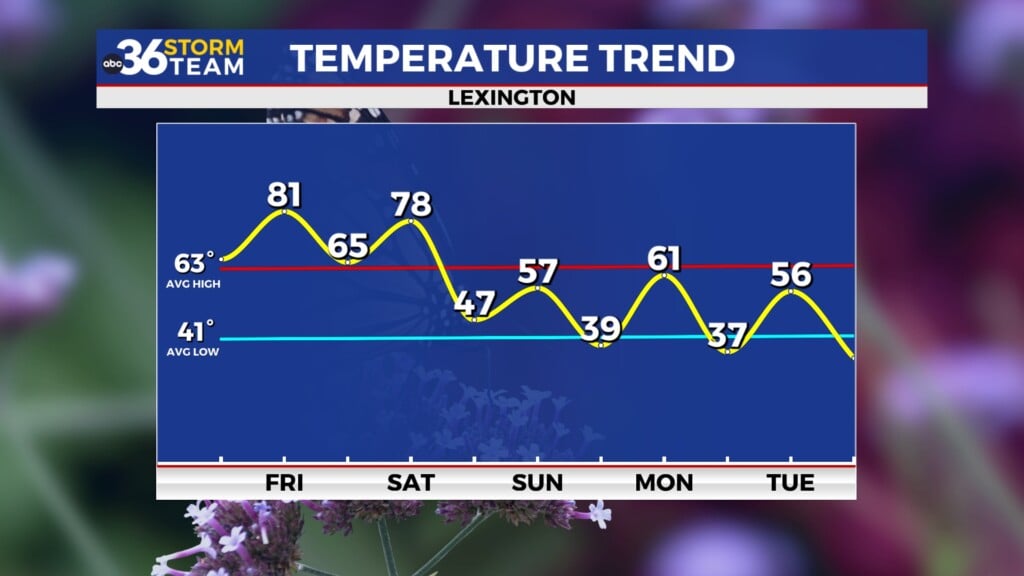
Afternoon highs will stick in the mid-60s the next few days with a slight warm-up now into the weekend
It was another frosty start to the day Tuesday across Central and Eastern Kentucky with several locations dealing with upper 20s and low 30s for early morning lows. Even with some stubborn high clouds lingering a bit through the afternoon, we managed to squeeze out some good sunshine, especially in the Bluegrass Region through the afternoon which allowed afternoon highs to jump back into the low 60s with upper 50s and low 60s farther south thanks to the clouds. Here’s a look at some of the early morning lows from Tuesday but luckily we aren’t looking at a widespread frost/freeze into Wednesday with temperatures not as chilly.
A weak and dry frontal boundary will drop in from the northwest on Wednesday but given how moisture starved it will be, the only impact should be a shift in wind direction to the northeast. Expect a nice afternoon with highs climbing into the mid to upper 60s to go along with some sunshine. This should be our nicest day of the week so get out and enjoy it as some changes are on the way later this week.
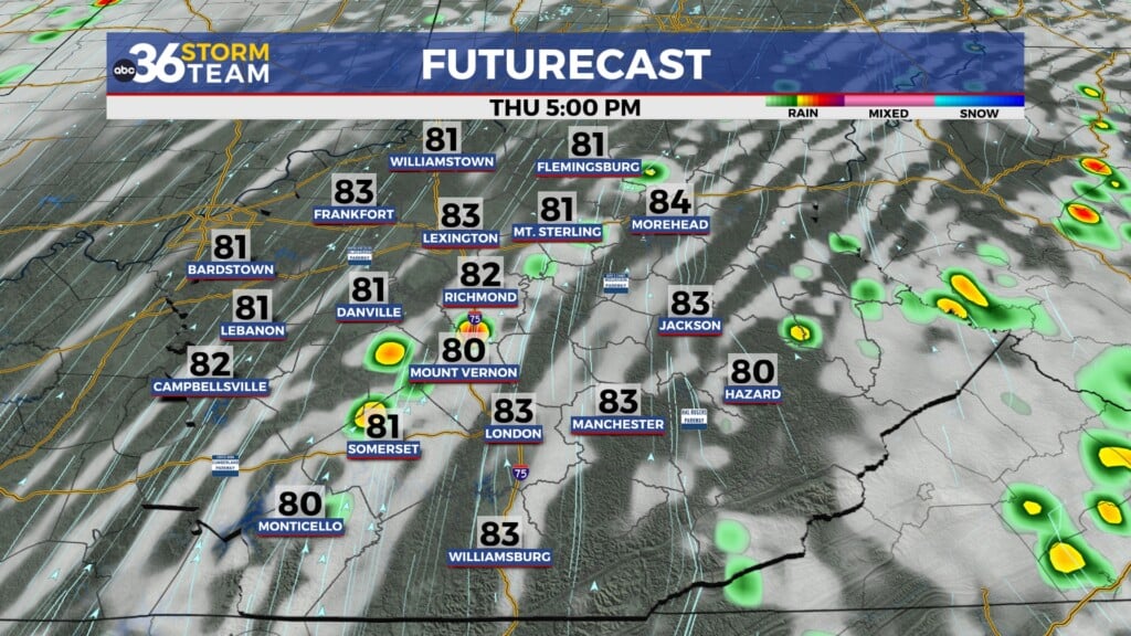
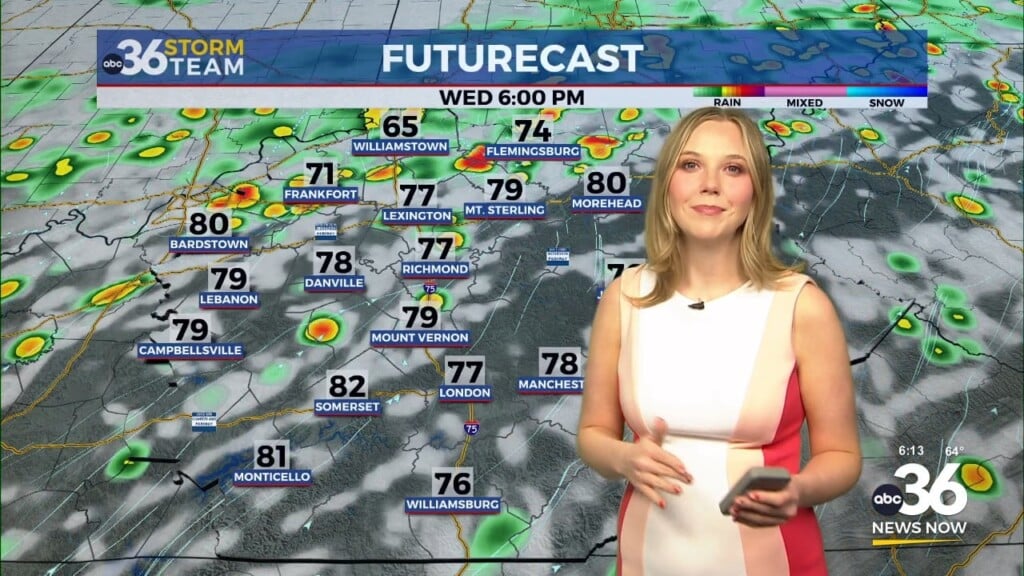
A wave of low pressure will slide in from the southwest late on Thursday with solid rain chances across the board Thursday night and into Friday. Some localized heavier rain could create some minor flooding issues if the rain is heavy enough early Friday so keep that in mind with several spots seeing 1″ plus rainfall totals. A few linger showers will be possible Friday as the wave of low pressure pulls off to the east to close out the week.
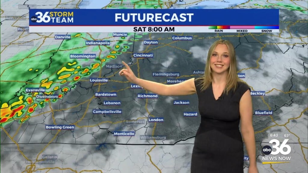
The model data is beginning to trend drier heading into the weekend with a mainly dry Saturday with a later arrival of the cold front and accompanying upper level low which should linger into next week. With a mainly dry Saturday, highs should reach the 70 degree mark in most locations before our rain chances ramp up ahead of the cold front Sunday. The big story to kick off May next Monday will be breezy and unseasonably cool conditions with an upper level low sitting over the Great Lakes. Highs will struggle into the mid-50s with clouds, breezy conditions and an isolated shower chance.
ABC 36 HOUR FORECAST
TUESDAY NIGHT: Mostly clear, still cool. Lows in the upper 30s to around 40 degrees.
WEDNESDAY: Mostly sunny and pleasant. Highs in the mid to upper-60s.
WEDNESDAY NIGHT: A few clouds, still cool. Lows in the mid-40s.


