Pleasant temperatures and more dry weather for the late week
Some changes are on the way this weekend as rain and storms return
It was another quiet day of weather across Central and Eastern Kentucky on Wednesday despite a weak boundary dropping through the commonwealth. With the lack of moisture at the surface, we saw a few scattered clouds mixed in with the sunshine through the mid to late afternoon. A few spots in far Southern Kentucky managed to reach the mid-70s just ahead of the high clouds that moved in while afternoon highs mainly stayed in the low 70s farther north as a northeast breeze brought in a reinforcing shot of milder air.
Thursday should be our “coolest” day of this week, although temperatures will end up right where we should be for the middle part of October. With sunshine and a persistent north to northeast breeze, afternoon highs should reach the upper 60s to right around 70 degrees so it should be quite pleasant from start to finish and an ideal day to enjoy some beautiful fall weather across the commonwealth.
Look for a relatively quick warm-up for Friday and into the upcoming weekend as our next storm system approaches. As winds shift around to the southwest, the return flow combined with the sunshine will help push afternoon highs back into the mid-70s on Friday so it looks like a great finish to the week with quiet weather remaining in place. Get set for another nice of ideal conditions for high school football as we rapidly head toward the end of the regular season very soon.
Saturday looks to be breezy and unseasonably warm as a strong southwest wind ahead of the approaching front helps to push afternoon highs into the low-80s across the board. It should be great for tailgating ahead of the Kentucky/Texas game at Kroger Field on Saturday and the good news is that the model data is finally beginning to sync up with a later arrival of the expected rain and storms so we should be in good shape with a 7pm kickoff for the game. Just take the rain gear along just in case, as a stray shower/storm can’t be ruled out but it looks mainly dry now for the game.
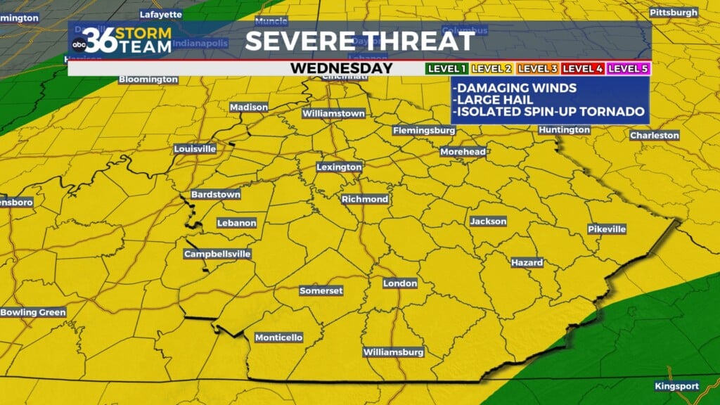
Scattered showers and storms look likely during the early hours of Sunday with some heavier rain expected as the cold front moves through. The timing of the storm’s arrival should help reduce the overall severe weather chances with the best dynamics being out across Western Kentucky earlier in the day and an overnight event helping to knock back the severe threat a bit. We should see some decent rainfall totals over 1″ or more, which is always a good thing to get some legitimate moisture in the ground this time of the year. Once the storms end later Sunday, we should clear out as cooler air filters back into the region with afternoon highs only in the mid to upper 60s early next week as we look at additional low-end shower chances possible about a week out.


