Pleasant and quiet weather to close out May
Temperatures should be a bit below average for the final few days of the month
It was a breezy and fairly cool Wednesday by late May standards across Central and Eastern Kentucky thanks to a pesky upper level low off to our northeast. With several “spokes” rotating around the low, we saw a decent amount of cloud cover which really cut down on the May sunshine across the area. Add in a brisk northwest wind at about 10 to 15 miles per hour with higher gusts and it was an unseasonably cooler day. There was a bit of patchy fog in some areas to begin the day and we could see more into Thursday morning.
The stubborn upper low should finally begin to work eastward and drift out of our region on Thursday allowing for high pressure and drier air to work into the area. With a mix of clouds and sunshine afternoon highs should top out in the low to mid-70s, which is about 6 to 8 degrees below average for late May. One thing to note is the higher resolution short term models are indicating a weak mid-level wave could cruise through Central and Eastern Kentucky Thursday afternoon with some additional cloud cover and even a stray shower but there should be enough dry air at the surface to keep any raindrops away.
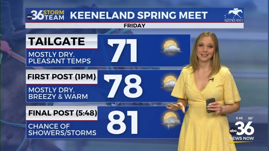
Friday looks dandy as we wrap up the month of May, which has been stormy and active to say the least so it’s nice to close it out on a quiet note. With high pressure to our northeast, expect more sunshine and yet another very pleasant afternoon as high temperatures recover a few degrees into the mid-70s with a few spots possibly reaching the upper-70s. We’ll kick off the month of June on a warmer note as afternoon highs climb back toward the 80 degree mark. A weakening wave of low pressure will be headed into the Ohio Valley, which will mark a return of a few isolated to scattered storms as we get later in the day. Don’t cancel any outdoor plans and you should be fine for anything happening earlier in the day.
We’ll shift into a more unsettled weather pattern into the early days of June as several waves of energy rotate through the Ohio Valley. We aren’t looking at any major system coming through so it shouldn’t be widespread storms or a wash-out on any particular day. Just keep the rain gear handy into early next week as afternoon highs hang into the low 80s in most spots.
ABC 36 HOUR FORECAST
WEDNESDAY NIGHT: Mostly clear with patchy fog late. Lows in the low-50s.
THURSDAY: Mostly sunny and pleasant. Highs in the low to mid-70s.
THURSDAY NIGHT: Clear skies and cool. Lows in the upper-40s and low-50s.


