Our dry stretch of weather comes to an end as we close out the week
Even with a few scattered showers back in the picture, the unseasonably mild air will hang tight for a few more days
It’s been quite an amazing stretch of weather the last week across Central and Eastern Kentucky with sunshine and unseasonably mild air for early February. This type of weather pattern is very rare for any length of time during the winter months so to get 6 to 7 days and comfortable days string together has been quite a treat. We enjoyed another nice one Thursday with a strong southwest wind helping to overcome the increasing cloud cover as afternoon highs surged into the low and mid-60s once again. The high clouds building in this morning set the stage for some gorgeous sunrise shots across the region.


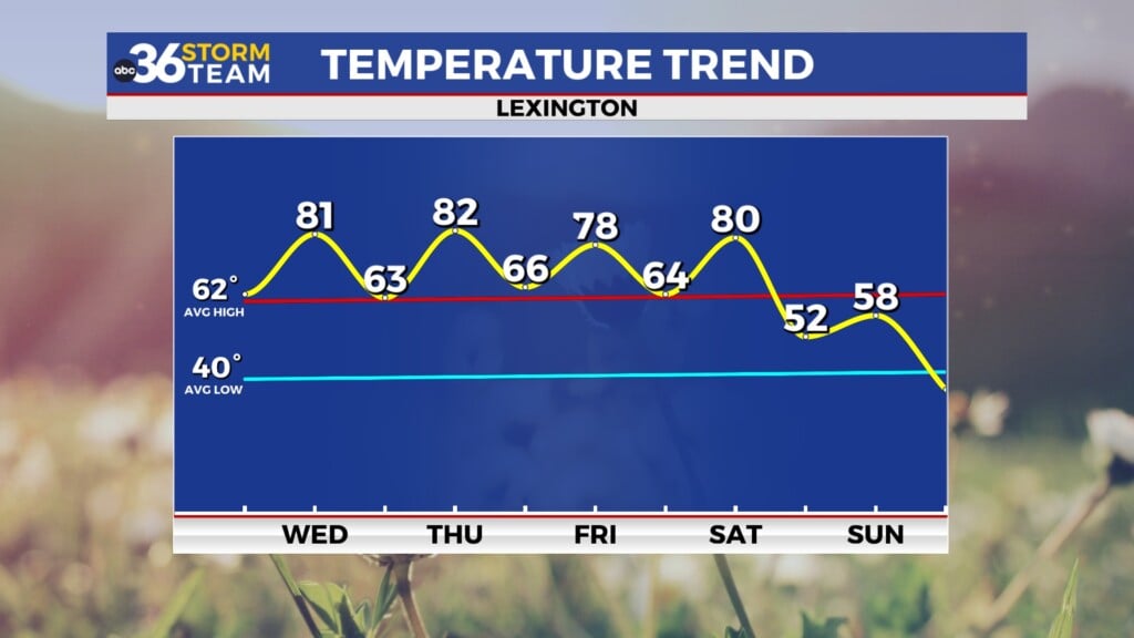
The first in a series of disturbances will move in from the west as we roll into Friday bringing our first legitimate rain chance in about a week. As this system weakens out, we are looking at scattered showers at best with the more favored area for rainfall being across Southern and Southeastern Kentucky so it doesn’t look like a wash-out by any stretch. The good news is that afternoon highs will a good 15 to 20 degrees above average for this time of the year as we top out into the low to mid-60s.


The set-up favors several waves of low pressure sliding by just to the south of the commonwealth through this weekend and into early next week. Rain chances will ramp up area-wide to kick off the weekend on Saturday with out southern viewing area being the more favored spot yet again for organized rain. With a frontal boundary still to our west, we’ll squeeze in one more day of mild temperatures as afternoon highs reach the mid-60s across the board. With the front to the south on Sunday it looks slightly cooler but mainly dry as temperatures back down about 10 degrees into the low-50s for afternoon highs. Luckily this is still above average for early to mid-February.


The next wave makes a run for our area heading into Monday with this system a little farther north which would put us more in-line for organized rain. The farther north the low tracks, the milder temperatures will be so at this point it appears there could be a bit of a gradient from northwest to southeast with upper 40s in the Bluegrass and upper 50s in the southeast. As the low spins through and moves eastward, some colder air will wrap in behind it and with the timing of everything, we could see a bit of a rain/snow mix into Tuesday morning before we dry out.


ABC 36 HOUR FORECAST
THURSDAY NIGHT: Breezy with a late shower. Lows in the upper 40s.
FRIDAY: Breezy and mild, a few showers possible. Highs in the low to mid-60s.
FRIDAY NIGHT: Mild with scattered rain. Lows in the mid-50s.


