Nice mid-August weather continues in the coming days
It should feel a bit like fall into Wednesday before our temperatures start to climb late week
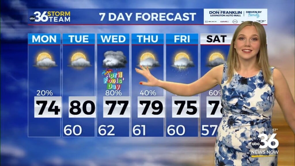
It was a nice change of pace on Tuesday weather-wise across Central and Eastern Kentucky as a frontal system moved east of the commonwealth. This front swept the muggy air out and with a breezy west to northwest wind, much drier and more comfortable air moved into the Bluegrass. It felt more like mid to late September with afternoon highs only reaching the mid to upper 70s under a mix of clouds and sunshine. The good news is the pleasant and unseasonably mild air will stick around into the mid-week.
High pressure should be firmly in control and centered over the Ohio Valley Wednesday so temperatures should remain below average for this time in August. With some low level moisture around, a few scattered clouds will be around to go along with additional sunshine so we are looking at another day with afternoon highs into the upper 70s, which should feel great if you are out and about. Of course Fayette County Schools are back in session after the summer break so conditions should be ideal for the first day of classes.
Our weather pattern begins to shift a bit heading into the late week as temperatures warm back into the mid-80s just ahead of a frontal boundary that will drop through the Ohio Valley. Most of the moisture will stay to our north so it should be mainly dry as the front passes through early Friday morning. This front will bring in additional dry air and knock our temperatures down a few degrees and lower humidity levels yet again, which is perfect timing given that high school football kicks off Friday night across the commonwealth.
Heading into the upcoming weekend we are going to shift back into a more late August type pattern and the big bubble of heat that has been centered over the central part of the U.S. will build eastward. High pressure will force the air downward (thus preventing any thunderstorm chances since the air can rise up) and compress it which will add to the heat. This will allow for sunny and quiet conditions but also allow afternoon highs to reach the low and mid-90s into early next week. Stay tuned!
ABC 36 HOUR FORECAST
TUESDAY NIGHT: Fair skies and quiet. Lows around 60 degrees.
WEDNESDAY: Scattered clouds, still pleasant. Highs in the upper-70s.
WEDNESDAY NIGHT: Mostly clear and comfy. Lows in the low-60s.


