Much improved weather this weekend after a rainy week
Sunshine should return across the board with afternoon highs recovering nicely as well
It was quite a dreary, damp and raw finish to the week weather-wise across Central and Eastern Kentucky with more scattered showers and even a rumble of thunder or two, which was fitting considering all the unsettled weather we’ve seen over the past few days. With a spoke of energy rotating around the departing low, clouds filled in and additional showers developed holding temperatures into the low to mid-50s for afternoon highs. To add to the “discomfort” factor outside, a brisk west wind with gusts over 30 miles per hour made it feel even colder. Ironically it was a pleasant daybreak across the area with a few spots seeing clearing and a bit of sunshine at dawn.

Luckily we are going to flip the script pretty quickly into the weekend with much improved conditions across the board. Most importantly skies will clear allowing for abundant sunshine across the area which will be uplifting and a welcome change after all the cloudy weather this past week. With a higher sun angle and a bit of a west wind, afternoon highs will will bounce back nicely topping out into the upper 60s and close to 70 degrees in most locations.

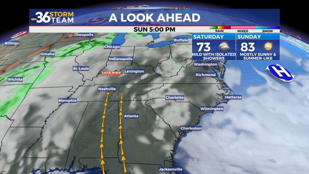
This rebound in temperatures will be a prelude of things to come. In fact we should be headed toward a more summer-like stretch of weather kicking in Sunday and running all the way through much of next week. Highs will be in the mid-70s on Sunday with more of a southwest wind and we’ll continue to climb the ladder in that regard Monday as we make a run into the upper 70s. There will be a weak boundary dropping into the Ohio Valley so a stray storm can’t be ruled out late Sunday but most spots should remain dry.


With a series of storms systems gearing up into the Central Plains next week, we’ll stay in the south to southwest flow into the mid-week allowing more warm air into the Ohio Valley. As a result, highs should head toward the 80 degree mark on Tuesday with mainly dry conditions. The first storm system which may cause some issues in the Central Plains with severe weather should just clip us to our northwest on Wednesday so a few isolated to scattered storms will be possible. A second frontal boundary should catch us late next week and will have to be monitored for the strong storm potential given the time of the year. Enjoy the weather this weekend!

ABC 36 HOUR FORECAST
FRIDAY NIGHT: Clearing out, breezy and chilly. Lows in the low-40s.
SATURDAY: Lots of sunshine, breezy and milder. Highs in the upper-60s.
SATURDAY NIGHT: Mostly clear and pleasant. Lows in the low-50s.


