Major weather pattern change kicks in across the area
The frigid air from the last week will be replaced by unseasonably mild temperatures in the days ahead
After a frigid weekend across Central and Eastern Kentucky with early morning lows dropping well below zero both Saturday and Sunday mornings, it felt down right balmy across the area to kick off the week Monday. A few mornings clouds gave way to afternoon sunshine and that coupled with a southeast wind helped drive afternoon highs back into the mid to upper 40s, a solid 20 degrees warmer than Sunday in many spots. This started the melting process of the snow pack in place and you can expect more of the same over the next few days.
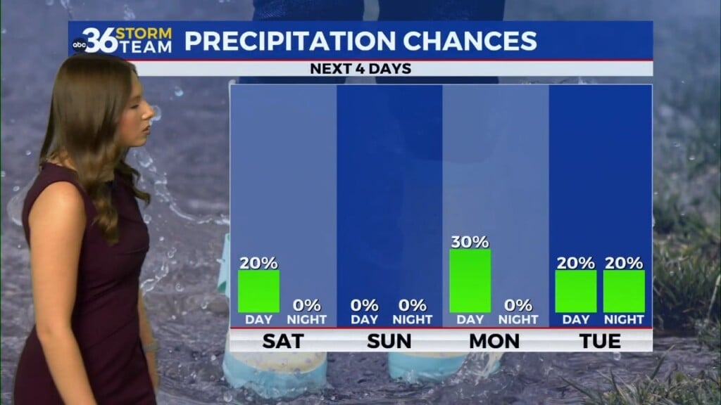
With several waves of energy sliding up from the southwest this week, expect a wet and mild set-up across the region with daily rain chances and afternoon highs on the rise through the mid-week. Heading into Tuesday morning temperatures should be just above the freezing mark as the moisture moves in from the southwest along with road temperatures above freezing so we should see minimal issues for the morning commute. Expect scattered rain across the commonwealth with afternoon highs working back into the mid to upper 40s despite the clouds and rain around.
Additional mild air will surge into the region as the rain chances ramp up through the mid and late week. You’ll definitely need the rain gear each day with several waves of some decent showers and even a rumble of thunder will be possible. Highs should reach the upper 50s and low 60s on Wednesday and Thursday so that should feel pretty amazing given the Arctic air that was around the last week or so!
Much of the data is indicating we could see a good 2″-3″ rainfall from during the Tuesday through Friday morning time frame. Couple this will all the melting snow on the ground across Central and Eastern Kentucky and we may have some minor flooding issues as a result. We’ll have to watch areas along smaller streams and creeks as well as low lying areas for potential flooding. One positive to the expected rain is that all this moisture may finally pull the state out of the drought that we’ve been fighting since this past summer. Another wave of low pressure may end up keeping things damp and unsettled heading into the upcoming weekend.
ABC 36 HOUR FORECAST
MONDAY NIGHT: Clouds increase with late shower, slowly rising temps. Lows in the low to mid-30s.
TUESDAY: Cloudy and breezy with scattered rain. Highs in the mid to upper-40s.
TUESDAY NIGHT: More rain and steady temps. Lows in the mid-40s.


