Late summer heat cranks up for the final week of August
We could see some of our hottest temperatures since mid-July in the coming days
Mother Nature has teased us with previews of fall-like temperatures on a few occasions during August but it looks like we are in far a dose of reality as we close out the month through the upcoming week. After a hot weekend across Central and Eastern Kentucky we saw more of the same on this final Monday of August with more sunshine and afternoon highs climbing into the upper 80s and low 90s. One saving grace is that humidity levels have been very manageable for this time of the year so that has kept us out of any major issues with the heat index getting into the danger zone. More heat will build eastward the next few days so expect temperatures to get even hotter during the afternoons.
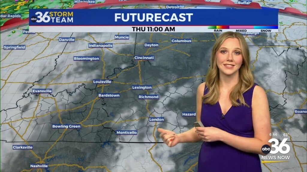
A strong high pressure ridge over the Central Plains will jog eastward a bit into the mid-week firmly putting the Ohio Valley under the center of this “dome” of heat that’s been plaguing the central part of the country lately. Expect more sunshine Tuesday with afternoon highs climbing a few degrees into the low to mid-90s. As the ridge jogs east by Wednesday and Thursday that’s when we will fell the brunt of the hot air that’s on the table this week.
More active weather with rain and thunderstorms should be confined to the Upper Midwest and the Great Lakes as those storms “ride the ridge but with it drifting eastward on Wednesday, a few of those storms could clip our northeast counties Wednesday afternoon as they dive to the southeast. Otherwise we are looking dry and hot until Friday. Afternoon highs will continue to rise with mid and even upper 90s possible Wednesday and Thursday as record highs could be threatened on Thursday. One positive is that humidity levels won’t be off the charts so the heat index vales should only be a few degrees above actual temperatures but with air temperatures being so high, it won’t take much to get us in the low 100s for heat indices so you’ll want to plan on hydrating properly and limiting your time outdoors if possible during that time frame. These will be the hottest temperatures since we saw upper 90s a couple of days in mid-July.
A frontal boundary will approach the area by Friday so our chances for a few scattered showers and storms will be possible to end the week and kick off the upcoming weekend. As you know it is Labor Day weekend and the “unofficial end to summer” so there are lots of outdoor activities planned across the region. The second week of the high school football on Friday evening and the Cats kicking off the 2024 season at Kroger Field on Saturday evening could be impacted by the storm chances. Right now it looks like the best chances of storms on Saturday will be across Southern Kentucky and with it being an evening game, this will hopefully play to our favor in keeping things dry for the game. High school football on Friday could be a different story so that will be something to monitor.
Our storm chances should wind down on Sunday with a secondary cold front set to drop into the area on Labor Day. This front should essentially be a “dry” front but it will bring a shot of cooler air into the Ohio Valley setting us up for a pretty nice Labor Day at this point. Afternoon highs should drop back into the mid-80s with low humidity levels and the unseasonably mild air could stick around through the first several days of September so stay tuned.
ABC 36 HOUR FORECAST
MONDAY NIGHT: Mostly clear and mild. Lows in the upper-60s.
TUESDAY: Mostly sunny and hot. Highs in the low to mid-90s.
TUESDAY NIGHT: Warm with a stray storm N.E. Lows in the low-70s.


