July heats drifts back in heading into the weekend
Temperatures will climb well into the 90s with high heat indices coming into play early next week
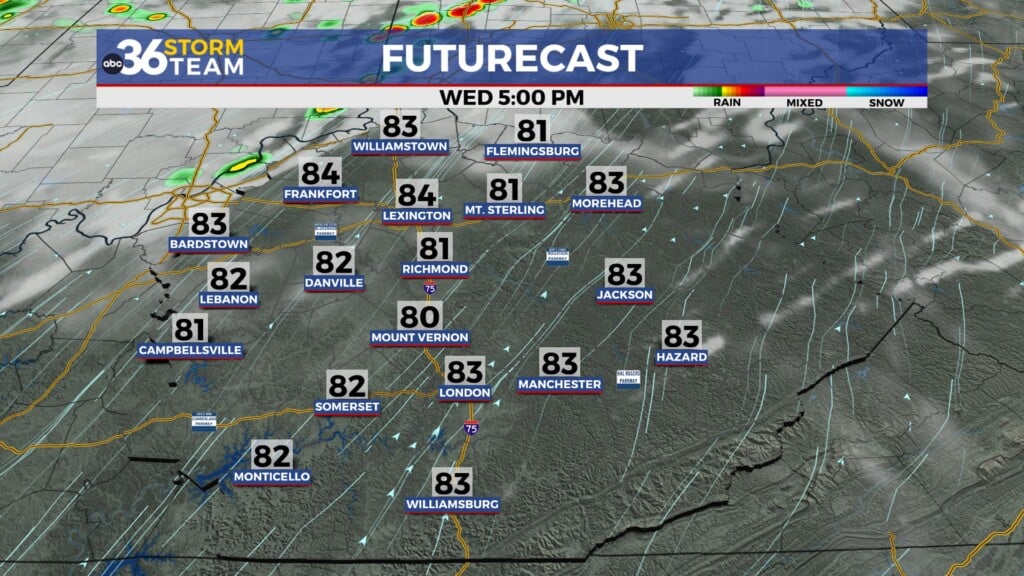
After a quick break from the heat and humidity on Wednesday it felt more like a typical July day Thursday across Central and Eastern Kentucky. High pressure at the surface to our southwest provided a mix of clouds and sunshine (despite some upper level energy back to our northwest) which allowed afternoon highs to climb back into the mid to upper 80s in most spots, which is right around average for this time of the month. Humidity levels were slightly higher but nothing off the charts, however both temperatures and humidity levels will be on the rise in the coming days.

Expect temperatures to climb a few degrees into the low 90s across the board as we wrap up the week on Friday along with it feeling a bit more muggy. These conditions are pretty typical for July and nothing we haven’t dealt with so far this summer. It looks to be a dry finish to the week, which is good for the PGA golf tournament going out just outside Lexington through the weekend. Sure it will be hot but compared to the last few years when storms have been a chronic issue, this year there should be minimal problems.


The upcoming weekend looks like a hot one as afternoon highs climb into the mid-90s in most locations. With it being a summer weekend that is essentially dry with plenty of outdoor events scheduled, it’s important to make sure you hydrate properly, use plenty of sunscreen and take it slow during the hottest part of the day. Heading toward Sunday we may see an isolated storm or two fire up with the heating of the day but those will be few and far between.

Heading into early next week we are looking at the hottest temperatures expected during the next 7 days. The combination of the dry conditions and sunshine will help the surface to heat up more effectively, thus pushing us into the mid to possibly upper 90s. Even with just a little bit of humidity in play, high heat index values may become problematic so that’s something we’ll have to watch very closely.


Looking down the road to late next week, the data indicating a frontal boundary may drop in bringing much needed shower chances and slightly cooler air. While the updated drought monitor doesn’t should any major changes with some spots “abnormally dry”, all the expect heat and dry conditions could really make things much worse by late next week. The 6 to 10 day temperatures forecast shows our region may feeling be a little bit below average for our afternoon highs in the extended period.


ABC 36 HOUR FORECAST
THURSDAY NIGHT: Mostly clear and pleasant. Lows in the mid-60s.
FRIDAY: Mostly sunny and heating up. Highs in the upper-80s and low-90s.
FRIDAY NIGHT: Fair skies and quiet. Lows in the upper-60s.