Isolated storm chances creep in late week but the weekend is still looking fantastic!
With the remnants of tropical system Debby sliding by to our east and another front moving in from the west, a few showers and storms can't be ruled out
We saw more typical early August conditions across Central and Eastern Kentucky on Wednesday with some sunshine, muggy conditions and warm temperatures. The only difference is that afternoon highs backed off a bit into the upper 80s and a few isolated showers and storms fired up during the afternoon hours thanks to the moisture hanging around and the frontal system close by. There are a few minor tweaks in the forecast for the end of the week that include keeping a few isolated showers/storms on the table as we do the old “squeeze play” with the leftovers from Debby to our east and another frontal boundary moving in from the west heading toward Friday.
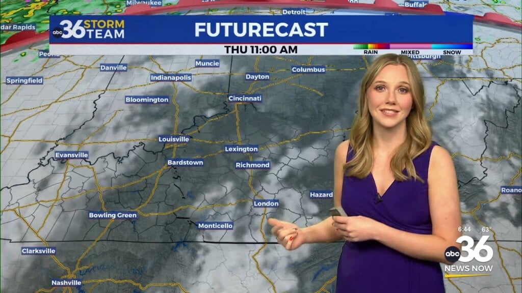
For Thursday it looks to be another warm to hot day although with humidity levels staying a touch on the elevated side. With Tropical Storm Debby along the South Carolina coastline now looking to make a push inland and a surge to the north more rapidly, this may necessitate adding a few isolated storms to the mix during the afternoon hours. With a northeast flow and some wrap around tropical moisture hopping up and over the mountains, much of the higher resolution, short term data indicates we’ll see a few pop-ups across Central and Eastern Kentucky on Thursday. While not everyone will see rain, don’t be surprised if you see a shower or thunderstorms with highs in the upper 80s to low 90s.
To close out the week on Friday, the much advertised frontal boundary will be moving from the west with Debby should be downgrading to a depression as it moves up through the Mid-Atlantic. This should create a “squeeze” between the front to the west and the tropical remnants to the east so once again a stray storm can’t ruled out Friday afternoon across the area with afternoon highs in the upper 80s. The big story with this front is the unusual and delightful weather pattern that will be ushered in behind the front just in time for the weekend!
As the front clears the area into Saturday, very pleasant and much drier air will filter into the Ohio Valley, something that is quite rare for the month of August. After starting out in the mid to upper 50s on Saturday (which will feel fantastic) afternoon highs will only top out in the low 80s Saturday afternoon with a few spots struggling to get out of the 70s! Given that we’ll see sunshine, nice temperatures and low humidity levels (check out the “muggy-cast” graphic below and look at how the line bottoms out in the comfy range) it should be a postcard type of weekend for weather across the commonwealth. With it being a summer weekend and schools either back in session or soon to be, there should be plenty of outdoor activities going on so the weather should be more than ideal for those! If you don’t any outdoor plans, make some as this is quite a rare set-up for mid-August!
Temperatures should still be comfortable into early next week with more sunshine on Monday and highs in the mid-80s, which is still slightly below average for mid-August. Some of the data is showing enough moisture coming back around for a few isolated showers and storms to work back in by the middle of next week but temperatures should remain manageable as highs hold tight into the mid-80s.
ABC 36 HOUR FORECAST
WEDNESDAY NIGHT: Mostly clear, still warm and muggy. Lows in the upper 60s to around 70 degrees.
THURSDAY: Partly sunny, isolated P.M. storms. Highs in the upper-80s to around 90 degrees.
THURSDAY NIGHT: Fair skies and quiet. Lows in the upper-60s to around 70 degrees.


