Humidity returns as our storm chances ramp up to end the week
A warm front will arc through the area on Friday keeping our weather stormy and unsettled into the weekend
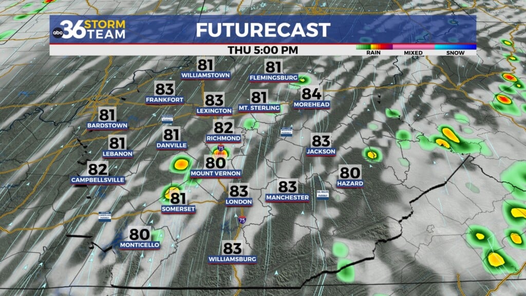
After a picture perfect Wednesday across Central and Eastern Kentucky, Thursday ended up being a fairly nice day in most locations but you could feel the change in the air. Sure we saw some sunshine and another warm day with afternoon highs in the upper 70s and low 80s but humidity levels crept up as expected. This helped to fuel a few scattered thunderstorms during the warmth of the afternoon and unfortunately the muggy air will be hanging around for a few days into the weekend.
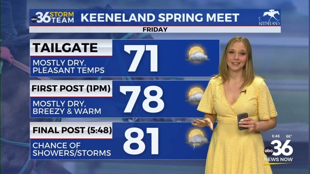
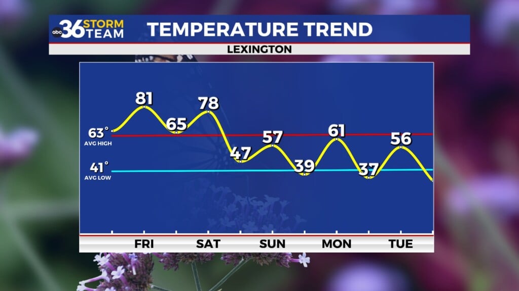
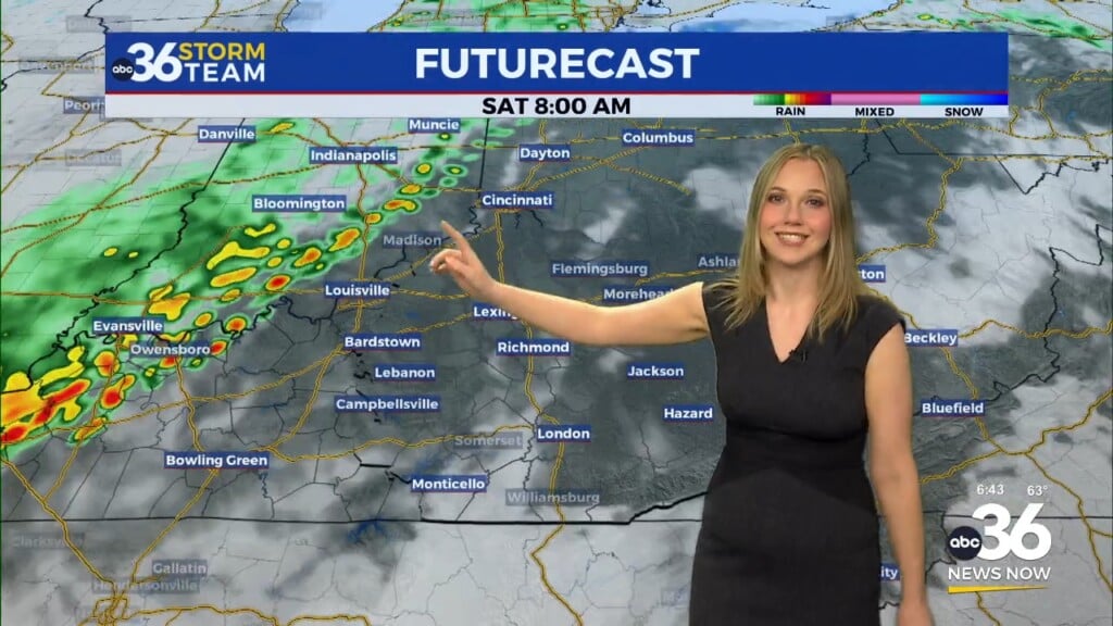
A warm front will arc through the commonwealth into early Friday, putting our area firmly in the warm and muggy air. With the boundary set to put on the brakes to our north, expect occasional rain and thunderstorms Friday with those continuing into the weekend. Highs should be either side of 80 degrees the next couple of days but of course any storms and the clouds associated with them could have an impact on how warm it gets although it will feel humid everywhere. As far as rainfall totals, it’s going to be tough to pinpoint given the scattered nature of the activity along with some of the storms producing some locally heavy rainfall. As a result, we could see a range from 1/4″ in one location to well over 1″ in others so just be prepared either way. It shouldn’t be a washout but keep the rain gear handy.
Heading into Mother’s Day the frontal boundary to our north should get a little push from high pressure building into Southern Canada. This should help the boundary drop south of Kentucky by late Sunday, but not before producing a few additional showers and storms although the chances look less now than they do for Friday and Saturday. We should definitely be able to squeeze in some dry time to celebrate Moms with outdoor plans on Sunday.
The model data isn’t totally synced up with the rain chances pushing out into Monday so it is looking more like a few showers may linger into Monday morning before we dry out. As that system exits the area early next week, there should be less in the way of humidity beginning Monday late Monday as afternoon highs back off a bit into the low and mid-70s.
Much of next week should be pleasant for mid-May with highs remaining in the low and mid-70s. The only potential hiccup…and it shouldn’t be a big one at that is a weak boundary that should bring a re-enforcing shot of mild air into the region by the middle of next week. Other than a few clouds, we are looking at mainly dry conditions with highs hanging in the low 70s.
ABC 36 HOUR FORECAST
THURSDAY NIGHT: Mild and mainly dry. Lows in the low-60s.
FRIDAY: Breezy and warm with scattered storms. Highs in the upper 70s and low-80s.
FRIDAY NIGHT: Occasional rain and storms. Lows in the mid-60s.


