Hot and muggy weather hangs around for the Juneteenth holiday
We'll close out the spring season mid-week with highs remaining in the 90s
The summer-like heat and humidity stuck around Central and Eastern Kentucky on Tuesday as the big dome of high pressure dominating the eastern part of the country held its ground. The biggest difference is that we saw a little bit more in the way of cloudiness than Monday, which took the edge off of temperatures by a few degrees. It was still on the hot and humid side with afternoon highs in the low 90s and humidity levels high enough to push heat index values into the upper 90s. Luckily this has kept us below criteria for a “Heat Advisory” but you still need to it easy during the hottest part of the day the rest of the week. A few scattered storms popped up with the afternoon heat once again but these should weaken out after the sun goes down.
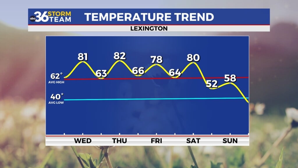
Heading into Wednesday and the Juneteenth holiday we are looking at more of the same with hot and muggy conditions persisting. Unlike the first few days of the week, the isolated afternoon storm chances should be at a minimum as the big ridge of high pressure strengthens a bit and the warmer air aloft suppresses the storm development. With plenty of folks off for an official holiday it looks to be a good day to enjoy the break with a trip to the pool or the lake as afternoon highs continue to rill into the low 90s for highs.
The summer season officially arrives as the summer solstice occurs at 4:50 P.M. Eastern time on Thursday afternoon and Mother Nature is going to produce a sneak peek of what we’ll experience from time to time through the heart of the summer. We are looking at a little less in the way of humidity being underneath the heat dome, but the slightly drier air will push afternoon highs back in the mid-90s from Thursday through Saturday. Even though heat index values should stay into the upper 90s and low 100s the actual air temperatures could flirt with record highs into the weekend. The bottom line is that you want to use some common sense if you have any outdoor events this weekend and avoid strenuous activity during the peak heating of the day.
We may finally catch a bit of a break across the Ohio Valley as we head into Sunday and early next week. A relatively weak front should drop into the commonwealth and slow down and even though it isn’t an overly strong boundary we should see enough moisture and lift to squeeze out a few showers and storms, which we’ll need at that point. Afternoon highs should back down a bit with the clouds and shower potential as readings top out in the upper 80s to around 90 degrees.
ABC 36 HOUR FORECAST
TUESDAY NIGHT: A few clouds, warm and muggy. Lows in the low to mid-70s.
WEDNESDAY: Partly sunny, still hot and muggy. Highs in the low-90s.
WEDNESDAY NIGHT: Fair skies and warm. Lows in the low-70s.


