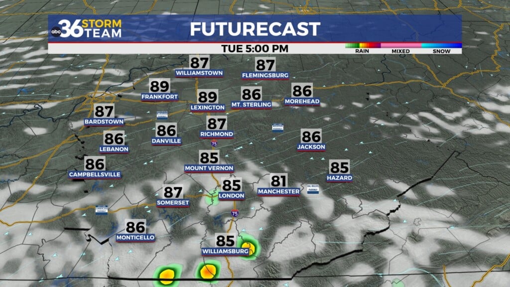
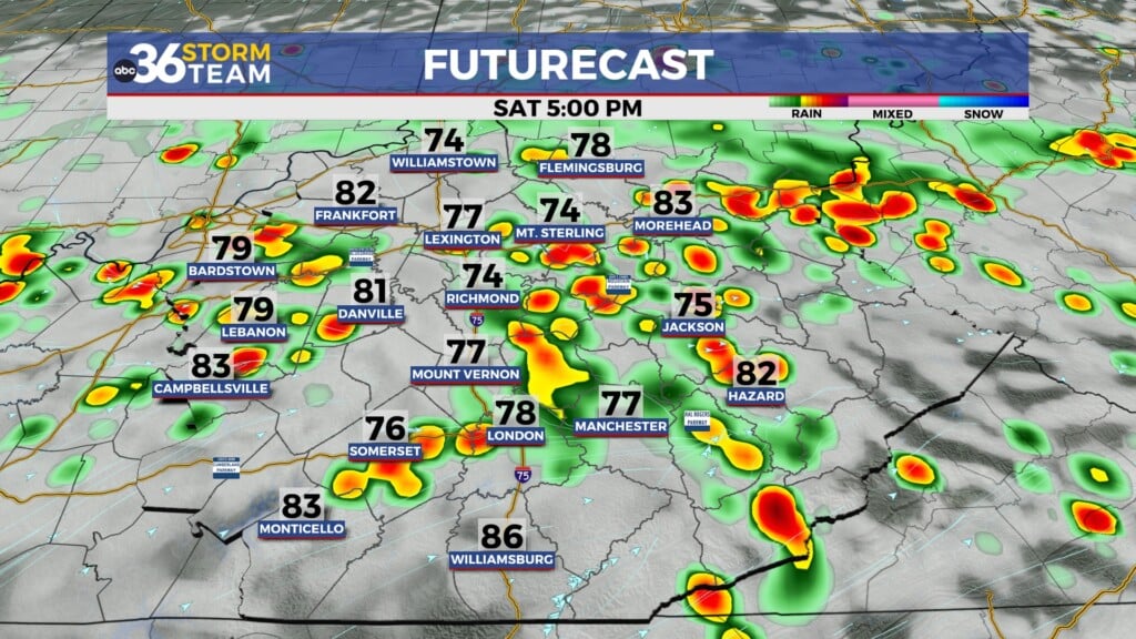
Heavy rain and storms in the forecast Friday into Saturday
Meteorologist Dillon Gaudet has the latest in your ABC 36 Storm Team forecast
A big warm-up is on the way for the rest of your Thursday. Afternoon highs will soar into the mid-to-upper 70s. A few showers and a rumble of thunder will be possible during the late afternoon but most of the rain will hold off until the overnight. Heavy rain and strong storms will be rolling through Friday and lasting into Saturday as a stalled out cold front parks itself over the region.

A Flood Watch goes into effect this evening and lasts through Saturday afternoon for areas along and north of the Bluegrass Parkway and north of I-64. Widespread 1-3″ of rain is in the forecast for these areas, with 2-4″+ possible in northern & north-central Kentucky along the Ohio River.

Heavy rain is not the only threat for the viewing area. Severe storms will be possible, especially from central Kentucky westward into western Kentucky. Damaging wind gusts will be the primary severe threat, with isolated tornadoes and large hail also possible. However, this is a conditional threat. Meaning the right conditions need to be in place to see severe weather to occur. If temperatures stay cooler thanks to rain showers and lack of sunshine, the severe threat will be lower. This would also mean the heavy rain and flooding threat would be increased.
As heavy rain and strong storms exit Friday night into early Saturday morning, we are not out of the woods yet. Gusty winds upwards of 40-50 MPH will be possible Saturday afternoon as the systems exits.
The ABC 36 Storm Team is on your side.
ABC 36 HOUR FORECAST
THURSDAY: Mostly cloudy and warm with a few showers possible. Highs in the mid-to-upper 70s.
THURSDAY NIGHT: Heavy rain moves in late. Lows in the low 60s.
FRIDAY: Heavy rain and strong storms possible. Highs in the upper 60s.