Heavy rain and storm threat ramps up heading toward the weekend
In addition to possible heavy rains creating a few flooding issues, strong storms look possible into early Saturday with lots of wind to kick off the weekend
It finally felt like spring on Thursday across Central and Eastern Kentucky as a strong southwest wind coupled with a mix of clouds and sunshine helped push afternoon highs into the mid-70s across the board. An active weather pattern will kick in quickly for Friday and Saturday with heavy rain, flooding, wind and even strong storms possible. The frontal boundary to our north will drift southward into Friday with the best chances for rain and storms north of I-64. The big story will be the temperature gradient from north to south on Friday with 50s up north, 60s here in the Bluegrass, and mid to upper 70s down south!
With an area of low pressure set to strengthen and move northeastward into the Ohio Valley, more heavy rain and storms will be possible especially for those areas along and north of the I-64 corridor. With a 2″-4″ rain possible in those locations, A Flood Watch is out from Thursday evening until Saturday morning for Northern Kentucky with parts of the Bluegrass region included as well.
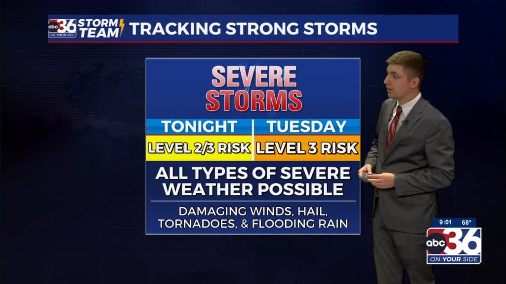
We mentioned this week that the severe weather potential was conditional as this system moved through and now it appears the dynamics look a little better for a line of strong to potentially severe storms into the early hours of Saturday. While damaging winds are the main threat, a spin-up tornado within the line can’t be ruled out. As a result, the Storm Prediction Center has pushed both the Level 1 and Level 2 risk areas farther northeast to include much of Central and Eastern Kentucky. The line should come through after Midnight on Saturday so stay weather aware given the timing.
The area of low pressure will spin by to our north on Saturday keeping things mild but also very windy across Central and Eastern Kentucky. With some sunshine popping out late morning and into the early afternoon, this will help mix the air more effectively and push wind gusts into the 40 to 45 miles per hour range. Luckily the winds will back off quickly with dry and mild air settling in to begin next week.
ABC 36 HOUR FORECAST
THURSDAY NIGHT: Breezy with rain and storms developing Lows in the upper 50s and low 60s.
FRIDAY: Rain and storms, especially north. Highs in the mid-60s central and mid to upper 70s south.
FRIDAY NIGHT: Breezy with more rain and storms, a few strong storms possible. Lows in the upper 50s and low 60s.


