Feeling more like mid-September the next few days before we warm up
The good news is that we could be set-up for an extended stretch of quiet weather all the way through the upcoming weekend
We saw a wet start to the week across Central and Eastern Kentucky as a cold front pressed into the Ohio Valley from the west. An area of morning rain and storms moving through as expected during the morning hours but luckily we didn’t see any severe weather out of that round of precipitation. Another positive is that cloud cover associated with the rain kept the sun from coming out much of the afternoon, which delayed mixing the atmosphere up to get additional storms to develop. There could see a few strong storms through Monday evening ahead of the cold front before our weather gets much better in the coming days.
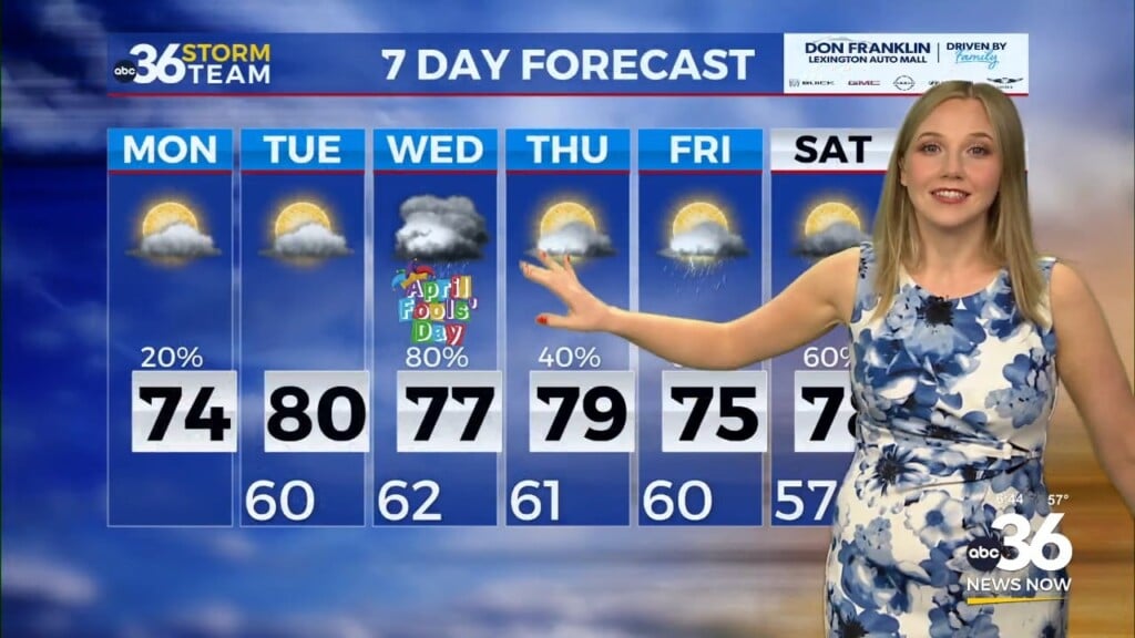
As high pressure builds into the region, a west to northwest wind will bring slightly drier and unseasonably mild air for this time of the year into the mid-week. Afternoon highs should back down into the upper 70s the next 2 days, which is more like mid to late September instead of the middle of August. A few contributing factors will be a breezy west to northwest wind along with some low to mid level clouds which should hold temperatures down as a result. Humidity levels will drop nicely, although we may still be a tad humid at times later in the week.
We’ll start to warm things up a bit later this week as a return flow brings warmer air back into Kentucky. Afternoon highs will climb back into the low to mid-80s on Thursday and level off there to close out the week. A cold front will drop through Friday morning, but it will be nothing more than a shift in wind direction as the legitimate moisture remains well to our north. This will keep quiet conditions in place with highs in the mid-80s Friday, perfect timing as high school football season kicks off here in Kentucky.
A bit of a reality check is on the way by the upcoming weekend and beyond as more typical conditions for mid-August return to the commonwealth and the eastern part of the country. High pressure will bring plenty of heat back into the region with afternoon highs climbing back into the low to mid-90s. In fact much of the eastern part of the country will stay well above average even beyond the extended forecast.
ABC 36 HOUR FORECAST
MONDAY NIGHT: Storms ending then a few clouds. Lows in the low 60s.
TUESDAY: Partly cloudy and pleasant. Highs in the upper-70s.
TUESDAY NIGHT: Fair skies and quiet. Lows around 60 degrees.


