Dry weather rolls along as temperatures heat up
It's going to feel more like the heart of summer this weekend
It’s been a quiet week of weather across Central and Eastern Kentucky and Thursday was no exception with more sunshine and warm temperatures. The only blemish was a mid-level wave diving by to our southwest, which provided some scattered clouds and even tried to pop an isolated shower up with little success just to our west but essentially it was high and dry across the region. temperatures climbed into the mid-80s for afternoon highs and even warmer air looks to build in over the next few days.
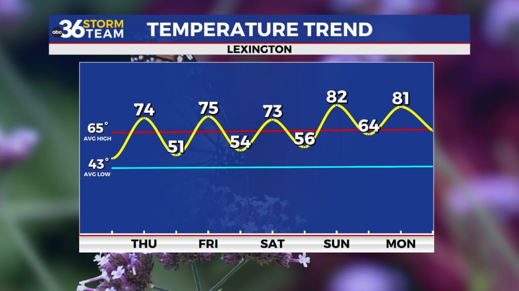
Friday looks like a repeat performance of what we’ve seen the majority of the week across the region with dry and unseasonably warm temperatures expected. Abundant sunshine and low humidity should allow afternoon highs to climb back into the mid to upper 80s, which is a few degrees above average for this time of the year. It will feel a bit warm during the heart of the day even without any humidity in play so keep that in mind. Unlike last week when high school football was negatively impacted by storms and lightning, this week should be a perfect evening for games around the area as temperatures drop off into the 70s.
It will feel more like the heart of summer this weekend as a bit of heat slowly builds into the Ohio Valley as the upper level ridge stays in place. Our weather looks good for any outdoor activities but you’ll definitely want to hydrate properly and use plenty of sunscreen if you are going to be out in the direct sun for any length of time. Afternoon highs should climb into the upper 80s on Saturday with the 90 degree mark a legitimate possibility for Sunday so slow it down during the hottest part of the day. It will be a bit toasty for tailgating ahead of Kentucky’s game with Eastern Michigan on Saturday so tents will be a popular spot outside Kroger Field through the afternoon. With a 7:30pm kickoff and the sun setting not long after, it looks to be a pleasantly warm night for football as temperatures cool off nicely over the course of the game.
The hot and dry weather looks to stay put onto next week with low 90s expected for afternoon highs along with plenty of sunshine. Fortunately we aren’t looking at high humidity levels so that will help but it will still be pretty hot as we hit the home stretch of the summer season officially. A backdoor front may sneak through late Monday but it shouldn’t have enough moisture with it to generate any showers. While the latest Drought Monitor out on Thursday showed some slight improvement thanks to the rain we saw about a week ago, much of the data shows an extended stretch of dry weather well into next week at the very least, so drought conditions should worsen as we progress through the second half of September.


