Delightful weather on the way as the summer season winds down
Get set to enjoy several days with warm and dry conditions this week
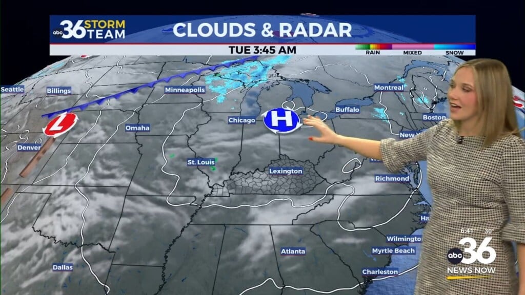
It was a very nice start to this final week of summer across Central and Eastern Kentucky. With a mix of clouds and sunshine, afternoon highs topped out in the mid to upper 70s, which is just below average for this time of the year. A light west to northwest wind pushed drier air into the region, upping the comfort factor on Monday. The only issue was some patchy dense fog this morning but the rising sun helped to burn that off pretty quickly in most locations.

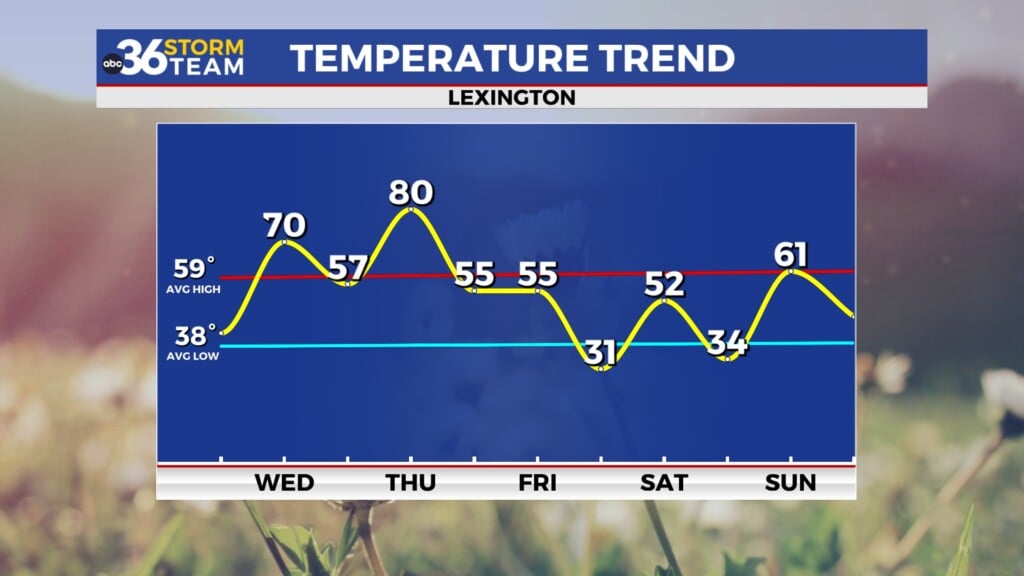
With fall right around the corner, Monday was the final day of 2023 where our average high temperature in Lexington is 80 degrees (or above) Starting Tuesday, our average highs fall into the upper 70s with that downward trend continuing as we head into autumn. The next time we’ll see an average high of 80 degrees of above will be May 30, 2024! Speaking of fall, the autumnal equinox occurs at 2:49am this coming Saturday morning.

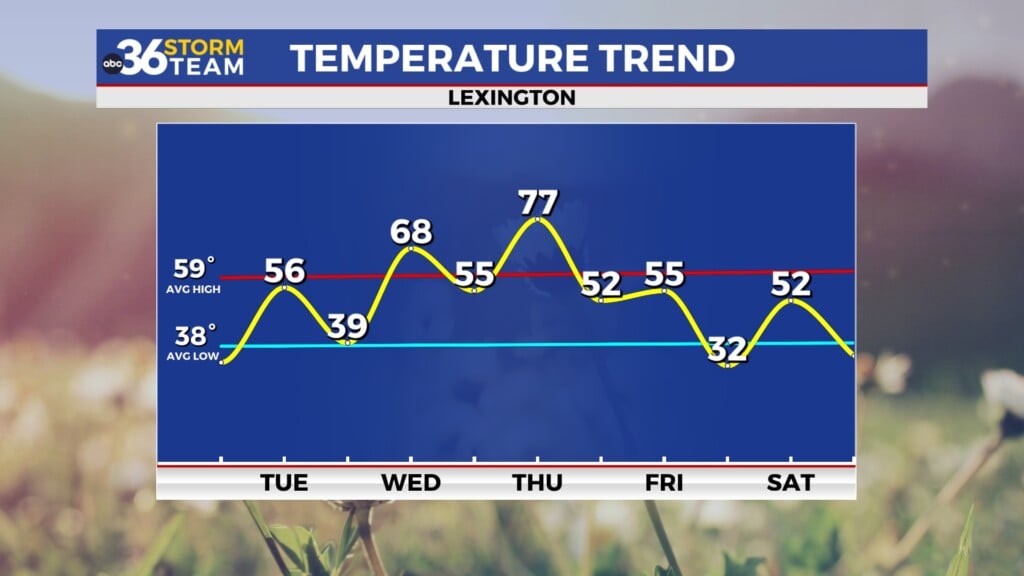
Heading into Tuesday expect more good weather as afternoon highs climb back into the mid to upper 70s. I wouldn’t be surprised if we flirt with the 80 degree mark here in Lexington as our afternoon temperatures have had a tendency to overachieve lately here in the city. Do watch out for some patchy dense fog again in the morning before the sun comes up and the fog lifts.

High pressure will remain in control through the rest of the week as it drifts northeastward into the Northeast. This will allow a bit of a southerly flow to kick in across the region, pushing our afternoon highs into the low and mid-80s as the dry weather hangs tight. These are the long stretches of pleasant weather we typically see in September and October here in Central and Eastern Kentucky so enjoy the rest of the week.

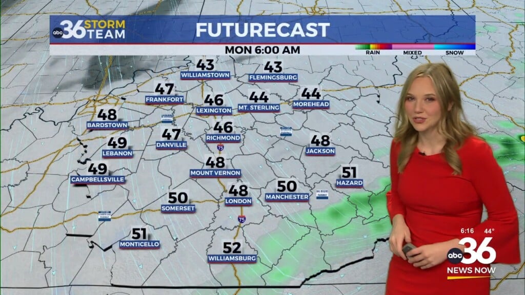
As we kick off fall this weekend, it should be mainly dry until late Sunday before a frontal boundary slides in from the west increasing our chances for a few showers late in the day. With the boundary being a bit slow to move in, afternoon highs should remain around the 80 degree mark heading into early next week.

ABC 36 HOUR FORECAST
MONDAY NIGHT: Mostly clear, patchy fog late. Lows in the low 50s.
TUESDAY: Mostly sunny and very nice. Highs in the upper-70s to around 80 degrees.
TUESDAY NIGHT: Fair skies and quiet. Lows in the low-50s.