Colder air returns as we kick off March
The weekend looks dry but highs will struggle to reach the 40s
It was a sunny but blustery end to February across Central and Eastern Kentucky, with winds gusting over 40 mph at times thanks to a strong southwest flow. Those gusty winds helped push afternoon highs into the low to mid-60s making for another warmer-than-expected day despite a chilly start in the low 30s. However, change is on the way as we turn the calendar to March this weekend, with a strong cold front set to bring a much colder air mass into the region.

Big Cooldown for the First Weekend of March
That cold front will move through the Ohio Valley tonight, but it won’t have much moisture to work with, meaning we stay dry. However, the real impact will come from the much colder air settling in behind it. Saturday will be noticeably cooler, with highs struggling to reach the low 40s. Even with plenty of sunshine, a brisk northwest wind will keep things feeling even chillier. By Saturday night temperatures will plummet into the low 20s, setting up a frigid start to Sunday.


Sunday will be another cold one, with highs only reaching the upper 30s—more than 10 degrees below normal for early March. At least we’ll see plenty of sunshine and winds will be lighter compared to Saturday. It’s a reminder that while we’ve had a taste of spring lately, winter isn’t quite done with us yet.

Temperature Roller Coaster Continues Next Week
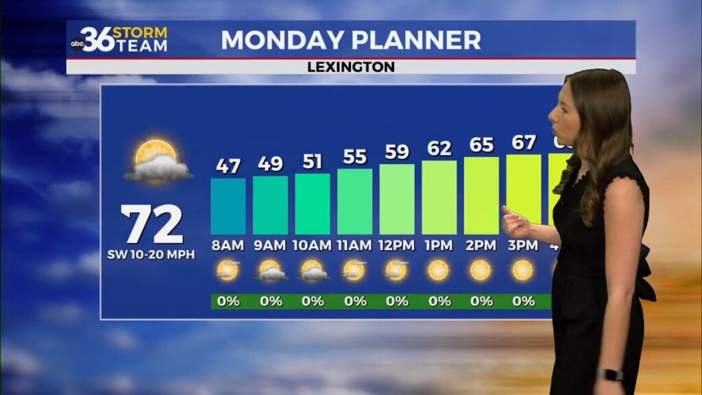
After a chilly weekend, temperatures will rebound quickly on Monday, climbing back near 50° with more sunshine. Our attention then shifts to a significant storm system set to impact the region by Tuesday night into Wednesday. A strong low-pressure system tracking toward the Great Lakes will pump in plenty of moisture, bringing widespread rain and possibly some thunderstorms. While severe weather looks more likely to our south, we’ll be watching closely as the system approaches.


Behind that system, another shot of cold air arrives, with highs dropping back into the upper 30s by Thursday. Depending on how the system exits, we could even see a few snowflakes mix in before things dry out. It’s another classic Kentucky weather pattern—up and down in a matter of days!
ABC 36 Storm Team 3-Day Forecast
Friday Night: A few clouds, breezy and chilly. Lows in the upper 30s.
Saturday: Partly sunny, breezy and colder. Highs in the low-40s.
Saturday Night: Mostly clear and very cold. Lows in the upper teens.
Be sure to check back for updates as we track next week’s storm system! Stay with ABC 36 for the latest forecast.