Beneficial rain chances ramp up into Wednesday and Thursday
We'll need to squeeze every drop out we can as we should shift quickly back into a warm and dry pattern this weekend
It was a summer-like Tuesday across Central and Eastern Kentucky, even by early fall standards as mostly sunny sunny skies allowed afternoon highs to jump into the low 80s across Southern and Eastern Kentucky with mid-80s across most of the Bluegrass. These readings were a good 6 to 8 degrees above average for late September but we’ve got some welcome changes on the way with our weather as we head into the mid and late week.

Of course with all the beautiful weather we’ve enjoyed the last several weeks (and even over the last month) the ground has gotten pretty dry due to our lack of rain. But the good news is that we’ll have a couple of days where legitimate rain and thunderstorms will be on the table. While it won’t be an all day rain either day, expect occasional rain and thunderstorms on Wednesday as afternoon highs are held in check somewhat with upper 70s in most locations. There is a low-end risk for a few strong storms late in the afternoon/early evening as the Storm Prediction Center has a level 1 severe risk (out of 5) with a few damaging winds gusts the primary threat with any strong storm.


As the wave of low pressure passes by to our north on Thursday, more rain will be possible along with some embedded thunder from time to time. Much of the data is indicating a healthy dose of rainfall across the area with totals generally in the .50″ to 1 inch range with some locally higher amounts in those spots that see heavier downpours. The system will eventually weaken out into Friday so after a few lingering morning clouds, we should clear out to end the week with afternoon highs in the upper 70s to around 80 degrees.


We should quickly shift back into a dry and warm weather pattern across the eastern U.S this weekend and beyond, which is pretty typical for the end of September and into early October. The only issue there is that our additional rain chances look nil at this point through the first week of October, which is why we need to get as much rain as possible the next few days. The long term out look into late next week shows above average temperatures (which would put us into the 80s for highs) along with well below average rainfall. This is great for all the fall festival and activities going on around the area but not for lessening the rainfall deficit we’ve accumulated over the last month.


ABC 36 HOUR FORECAST
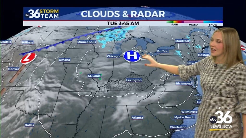
TUESDAY NIGHT: Clouds increase, isolated storms late. Lows in the low-60s.
WEDNESDAY: Scattered rain and storms. Highs in the upper 70s.
WEDNESDAY NIGHT: More showers and storms. Lows in the low-60s.