After a comfortable start to the week, the heat is back on Tuesday
It appears we'll be shifting into a more active weather pattern with much needed rain chances on occasion in the coming days
It was a delightful start to the week on Monday across Central and Eastern Kentucky, especially given all the hot and humid air we’ve dealt with the close out spring and for the early days of summer. The frontal boundary brought showers and thunderstorms to the area to end the weekend also ushered in some more pleasant and less humid air. Afternoon highs Monday reached the low and mid-80s and you could really feel the break from the humidity. It should be a very pleasant early summer evening so enjoy that as the heat is poised to make a quick return.
As high pressure settles off to the east of the Ohio Valley the brief break from the unseasonably hot air will end quickly on Tuesday as a southerly flow brings more moisture back into the area and opens the door for the heat to move back in. While it shouldn’t be as muggy compared to what we dealt with much of last week, you should feel the humidity a little more as afternoon highs run back into the low-90s. A frontal boundary to our northwest will be poised to drop in and with enough moisture around a few late day isolated storms aren’t off the table although most locations should be dry.
Our best chance for organized rain and storms will be on Wednesday as the aforementioned front drops through the commonwealth. This front will have a bit more moisture to work with some hopefully we see more widespread rain and storms especially considering we are getting behind the curve on rainfall. Just like Sunday there is a low end Level 1 severe risk (out of 5) from the Storm Prediction Center on Wednesday with damaging winds and heavy rain being the primary threats.
Once that front clears into Thursday it will be kind of a repeat performance as we shift into this pattern where a cold front brings a few rain and thunderstorm chances, we see briefly milder air for afternoon highs and then they heat builds back for a day or two before the process starts all over again. That’s one of the reasons our “muggy-cast” looks like a roller roaster ride as things get muggy ahead of the front before drier air works in and then we’ll climb the ladder again.
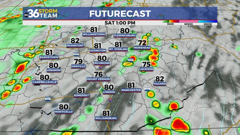
Heading into the late week and upcoming weekend the heat will be cranking up yet again with afternoon highs back in the low to mid-90s along with more humid air. This will precede a late weekend cold front which will provide additional rain and storm chances. This more “active” pattern is a good thing considering most location across the area are a good 2″-3″ behind normal rainfall totals during that window. Sunday’s precipitation chances look decent at this point with highs in the upper 80s before we see warm and drier air back in place to kick off July!
ABC 36 HOUR FORECAST
MONDAY NIGHT: Mostly clear and pleasant. Lows in the low-60s.
TUESDAY: Mostly sunny and hotter, a late storm possible. Highs in the low-90s.
TUESDAY NIGHT: Warm and muggy with a few storms. Lows in the low-70s.


