Active weather returns with some light snow accumulation possible Friday night
A fast moving area of low pressure should bring rain followed by colder air and a changeover to snow
Despite an area of low pressure to our north and a weak frontal boundary sliding through the area on Thursday, it turned out to be another spring-like day here in mid-February across Central and Eastern Kentucky. With that system weakening out a bit, we saw more sunshine than anticipated which allowed for even stronger wind gusts out of the southwest so the end result was another day with overachieving temperatures as afternoon highs reached the upper 50s and low 60s. It was a pretty start to the day with some chilly air in place but we recovered nicely as the mild air won out. Hopefully you enjoyed it as some changes are on the way for Friday.

A fast moving area of low pressure will make a run at the commonwealth on Friday increasing our chances for rain initially followed by a changeover to snow as temperatures begin to fall late Friday afternoon and into the evening hours. While this isn’t expected to be a major system, it is looking more likely that we’ll see some light accumulations of snow especially across the northern half of the state. As we have mentioned the last few days, the exact track of the low will determine how long the precipitation stays all rain before the changeover and this will impact over all totals.


Right now it looks like a general 1″-3″ snowfall is possible along the I-64 corridor with lower amounts the farther south you go. For our far southern counties, it may be mainly a rain event although a coating of snow cant be ruled out. Highs will top out in the mid-40s Friday before tumbling to around freezing through the evening hours. One thing to keep in mind if that no matter whether you see snow or not, temperatures will drop into the low-20s Saturday morning so any moisture on the roadways will create some slick conditions. The only positive is that its a weekend morning on Saturday when fewer people should be out.

Expect a cold and very February like Saturday with the snow moving east of the commonwealth very early in the day. Winds will shift to the north and even with some sunshine mixed with the clouds, afternoon highs will struggle to recover and only reach the low to mid-30s by the afternoon. Following a pretty cold Sunday morning we should see a slight recovery in temperatures with afternoon highs a little closer to average as they climb into the low to mid-40s.

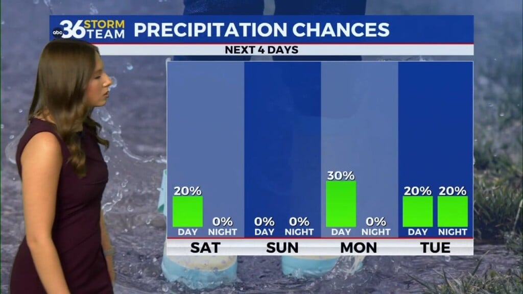
Heading into Presidents Day on Monday we are looking much better as temperatures continue to quickly climb the ladder once again. It should be a nice Monday for those off for the holiday with more sunshine and highs in the low 50s. Another round of spring-like air will return as we roll through next week with temperatures running into the low 60s by Wednesday and Thursday. Of course it will be breezy as you don’t get that mild in February without a bit of wind. As far as rain chances go, expect a slight chance Tuesday with a better shot at showers later next week.

ABC 36 HOUR FORECAST
THURSDAY NIGHT: Mostly clear and cold. Lows in the low-30s.
FRIDAY: Rain returns, changing to snow late with falling temps. Highs in the mid-40s.
FRIDAY NIGHT: Breezy with snow showers, much colder. Lows in the low-20s.


