A quick break into the mid-week before more stormy and unsettled weather returns
With a frontal boundary moving south of the commonwealth, dry and less humid air should filter in for a day or two
It was a warm and eventually wet start to the week at least for parts of Central and Eastern Kentucky with a frontal boundary laying off to our northwest. Most locations started with some sunshine on Monday before an afternoon cluster of rain and embedded thunder rolled in from west to east. Afternoon highs reached the mid-70s with muggy conditions before the rain moved in and one bit of good news is that it’s going to continue to feel like spring/summer all this week despite some back and forth weather. We did see some beautiful rainbow pictures across Central Kentucky Monday morning as early rains departed and the sun came back out.
The frontal boundary to our northwest along with an area of low pressure will slide through the region into the early hours of Tuesday so the threat for additional rain and storms isn’t gone yet. In fact much of the data is indicating additional storms firing out to our west and diving southeastward during the late evening Monday and into the early hours on Tuesday. There is the potential that a few of these could be strong with damaging winds and heavy rain being the primary threats. An isolated tornado can’t be out as is usually the case. The Storm Prediction Center has much of Central and Western Kentucky in a Level 2 risk (out of 5) with Southern and Eastern Kentucky in a Level 1 risk.
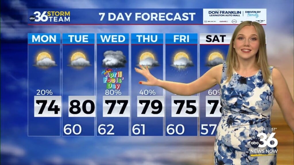
Once the front clears the area into Tuesday, skies should remain mostly cloudy to start the day with sunshine eventually making a return appearance later in the day. It should feel more comfortable with lower humidity levels and the sunshine should help afternoon highs to recover into the mid to upper 70s.
The mid-week looks great with high pressure to the north dominating our weather with more sunshine and highs into the mid to upper 70s. As the high gives way to the east on Thursday, a return flow will begin to pick up and open the door for a warm front to head for the Ohio Valley. Highs should jump back into the low 80s with mainly dry conditions despite the approaching front.
With the aforementioned boundary stalling out to our north and Central and Eastern Kentucky back in the warm and muggy air, our weather pattern looks stormy and unsettled for Mother’s Day weekend with daily chances of rain and storms. While we shouldn’t see all day rain on any particular day, the majority of the scattered storms will be driven by the warmth of the afternoon as highs reach the low 80s through the weekend.
ABC 36 HOUR FORECAST
MONDAY NIGHT: Scattered rain and storms. Lows in the upper-50s and low 60s.
TUESDAY: Morning clouds, then afternoon sun. Highs in the mid-70s.
TUESDAY NIGHT: Mainly clear and cooler. Lows in the upper 40s.


