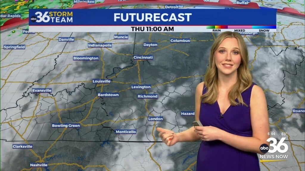
A cold front Friday brings a nice shift in our weather pattern into the weekend
Afternoon highs should be very pleasant with low humidity levels and quiet conditions starting Saturday
No big surprise we saw another warm and muggy day across Central and Eastern Kentucky on Thursday. With the moisture associated with Debby just off to our southeast, scattered clouds were a bit more numerous along with a few pop-up showers and storms through the late afternoon and evening hours. Once thing that did work to our advantage with a fairly pleasant northeast wind coming around that system, which definitely took the edge off the muggy conditions by mixing the air up even though dew point temperatures and humidity levels were still on the high side. We do have some positive changes for the upcoming weekend, which is really an understatement given that we are heading into the middle part of August.
A much advertised cold front will be on the move and sliding through the commonwealth on Friday. The latest data indicates that the front should be across Eastern Kentucky by the afternoon hours, which should work to out advantage on a few levels. First in should already begin to bring more moderate air in with a northwest wind behind it with the breeze at 10 to 15 miles per hour. We typically don’t get much wind during July and August so this will add to the comfort factor and hold afternoon highs into the mid-80s! The left overs of Debby look to move a little more quickly to the north than first anticipated so that should really cut down on any isolated shower potential Friday so for now we’ll take the chances out and look to end the week on a dry note.
Speaking of Debby, the leftovers should roll into the northeast very quickly as the cold front picks up the remnants and rapidly advances that system northward. This will open the door for a shot of very unseasonably pleasant and drier air to settle into the Ohio Valley for the upcoming weekend. It is the rare occasion to get sunshine, pleasant temperatures, AND low humidity levels during the heart of August, plus time it up happening over a weekend so you’ll definitely want to take advantage of the outdoors as much as possible this weekend.
Our “muggy-cast” shows the humidity levels in the “comfortable” range all the way into early next week! As we talk about on-air, the dew-point temperature is a great measure of the amount of moisture in the atmosphere and typically we are in the upper 60s and low 70s when we have muggy days. This weekend we could be taking dewpoints in the upper 40s and low 50s, which means super dry and comfortable air!!! So the bottom line is that you’ll want to make some outdoor plans and enjoy the break from the humid and oppressive conditions we’ve seen of late since we still have a solid month or so before we really start getting away from the heat.
We should stay dry into early next week as temperatures slowly begin to climb back into the mid-80s, which is pretty close to average for this time of the year. The model data isn’t overly impressive with any rain/storm chances until probably Wednesday and Thursday of next week and even then it could be a bit marginal as it takes awhile for things to saturate back up. Highs temperatures should climb back into the upper 80s late next week as we begin to feel more like August again with some humidity returning.
ABC 36 HOUR FORECAST
THURSDAY NIGHT: A few clouds and warm. Lows in the upper 60s to around 70 degrees.
FRIDAY: Mostly sunny, breezy and warm. Highs in the mid-80s.
FRIDAY NIGHT: Mostly clear and pleasantly cool. Lows in the mid to upper 50s.


