More active weather on tap to close out the week
Locally heavy rain could create some flooding issues
It’s been a nice stretch of weather across Central and Eastern Kentucky the last few days and we managed to squeeze in one more on Thursday as some changes in our overall weather pattern are set to kick in. With plenty of sunshine around and a southwest wind pushing warmer and more humid air into the commonwealth, afternoon highs surged into the mid-80s so it felt much more like summer. A slow moving frontal system dropping into the Ohio Valley set off a few scattered thunderstorms across the northern and western parts of the viewing area and this will be a prelude of things to come to end the week.

You’ll definitely need to take the rain gear along on Friday, especially for areas along the I-64 corridor as the frontal system moves in and stalls out over the commonwealth. With plenty of Gulf moisture to work with and the slow movement of any showers and storms that develop, the threat for locally heavy rain and some high water issues may be on the table, especially across the northern half of the state. A 1″-3″ rainfall on top of already saturated ground could cause some issues, especially with repeating rounds of moderate to heavy rain. There is also a low end level 1 severe weather risk (out of 5) along and west of the I-75 corridor for the potential of some damaging wind gusts with any stronger storm that may develop. Afternoon highs should still run into the low-80s despite the clouds and rain around with mid-80s expected down south.


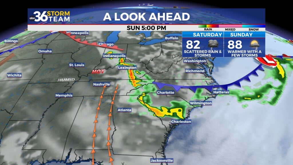
Heading into the final weekend of June, the stalled out front will remain in place and sink a little farther to the south, pushing some much needed rainfall chances into Southern Kentucky. The latest Drought Monitor out Thursday morning shows that the recent heavy rainfall has alleviated the drought completely here in the Bluegrass region, while pockets of Southern Kentucky, especially around Liberty and Hazard remain in a severe to extreme drought. The expected showers and storms into Saturday down south would be very beneficial, even though the timing isn’t great as outdoor plans may be negatively impacted into Saturday. The front should begin to lift to the north a bit on Sunday so other than a few lingering showers, we should begin to dry out a bit and warm up. Highs will reach the low to mid-80s Saturday with upper 80s possible to end the weekend.


Our overall weather pattern will flip into full summer mode as we put the finishing touches on the month of June early next week.. An upper level ridge will build into the eastern part of the country, bringing a legitimate round of heat and humidity to central and Eastern Kentucky. Afternoon highs should climb into the low to even mid-90s as we finish out June and kick off July. Add in a good bit of humidity, especially in those areas that have seen a lot of rain lately and our “feel-like” temperatures should top the century mark during the hottest part of the day. It will definitely be a stretch where you’ll need to hydrate properly and slow ity down during the hottest part of the day so be prepared for that.


ABC 36 Storm Team 3 Day Forecast
Thursday night: Muggy with a few storms. Lows in the upper-60s. Wind: SW 5-10 mph.
Friday: Scattered showers and storms, locally heavy rain possible. Highs in the low to mid-80s. Wind: S 5-10 mph.
Friday night: More scattered showers and storms. Lows in the upper-60s. Wind: SW 5-10 mph.