Spring-like temperatures return the rest of the week
Scattered showers will be possible most days, especially north
We saw a chilly start to this first Monday of March across Central and Eastern Kentucky with a few spots seeing a bit of wintry weather to kick off the day. With a wave of energy sliding along a frontal boundary to our south and enough cold air in place, locations north of I-64 saw a bit of freezing rain, sleet and a few snowflakes during the morning commute while the rest of the area dealt with a chilly rain as temperatures hovered right around freezing. Luckily there weren’t many issues as temperatures moderated enough by late morning for everything to be in the liquid form. Showers continued into the afternoon as temperatures struggled to get into the upper 30s and low 40s. Fortunately we have some positive changes on the way with our temperatures this week.

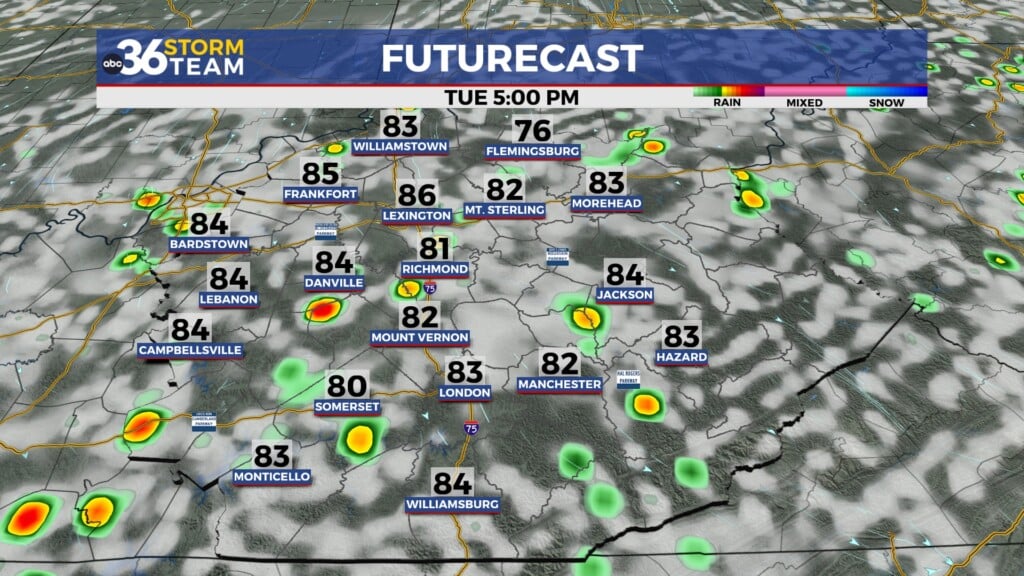
The frontal boundary to our south will lift northward heading into Tuesday so temperatures should actually climb overnight with most locations sitting in the low-50s by daybreak on Tuesday. This will be the beginning of what should be a very spring-like stretch of weather for this first week of March across the commonwealth. Afternoon highs should climb back into the mid-60s with a few spots down south seeing upper 60s to near 70s. Scattered rain is expected on occasion so you’ll need to take the rain gear along as you head out the door. The most favorable area for steady rain will be along and north of the I-64 corridor as the front stalls out just north of the Ohio River late in the day.


While the spring-like pattern continues into the mid-week so will our scattered shower chances thanks to the frontal system hanging just to our north. With waves of energy sliding along the front, we are looking at scattered showers from time to time with the most favored area again being the northern half of the state. There will be some locations across Southern Kentucky that may end up being rain free on Wednesday and possible Thursday although a wave of energy on Thursday could push the rain a little farther south. The bigger story will be the unseasonably mild air expected across the commonwealth. With a steady south wind pushing spring-like air into the region, afternoon highs will surge into the low and mid-70s despite clouds and some of the rain around.


The unsettled and damp weather pattern will roll along to close out the week and head into the weekend as the stalled boundary camps out just to our north. We’ll continue to see great temperatures with afternoon highs urging all the way into the mid to upper 70s on Friday with just a few scattered showers and storms possible. The wave train will continue on Saturday as another area of low pressure slides through the Ohio Valley bringing a little better coverage for showers and storms. This could impact any outdoor plans you may have so keep that in mind. Fortunately temperatures will stay mild with afternoon highs remaining in the low 70s. More wet weather is possible to end the weekend and kick off next week so we’ll have to watch for the potential of some minor flooding issues, especially those areas that see several inches of rainfall over the next week.


ABC 36 Storm Team 3 Day Forecast
Monday night: Mostly cloudy with rising temperatures, isolated showers possible. Temps in the low to mid-50s by daybreak. Wind: S 5-10 mph.
Tuesday: Cloudy with occasional rain. Highs in the mid-60s. Wind: S 10-15 mph.
Tuesday night: More clouds, a few showers. Lows in the mid-50s. Wind: S 5-10 mph