One last day of above average temperatures before fall returns
Cloudy and warm to start the work week
Cloud cover will continue to increase through Monday morning. Temperatures are mild to start with many sticking to the low-mid 60s. By late morning, we may see enough moisture to squeeze out a few isolated showers. These would be brief and likely wouldn’t bring much rainfall. Most of us will stay dry throughout the day. Temperatures by the afternoon will reach above average, in the mid-80s yet again.
A cold front brings some rain
Monday night and through the day on Tuesday, a cold front will be pushing through. Ahead of this front, we can expect scattered showers to begin around midnight on Monday. We’ll see an increase in coverage through the day on Tuesday. Many areas will get some much-needed rain, with a few of us possibly seeing torrential downpours in areas where thunderstorms are able to develop. Most will see 1-1.5″ of rainfall through the day. We are under a level 2 out of 4 flash flood risk, as some areas that see heavy downpours could experience ponding or flash flooding.
Finally feeling fall-like
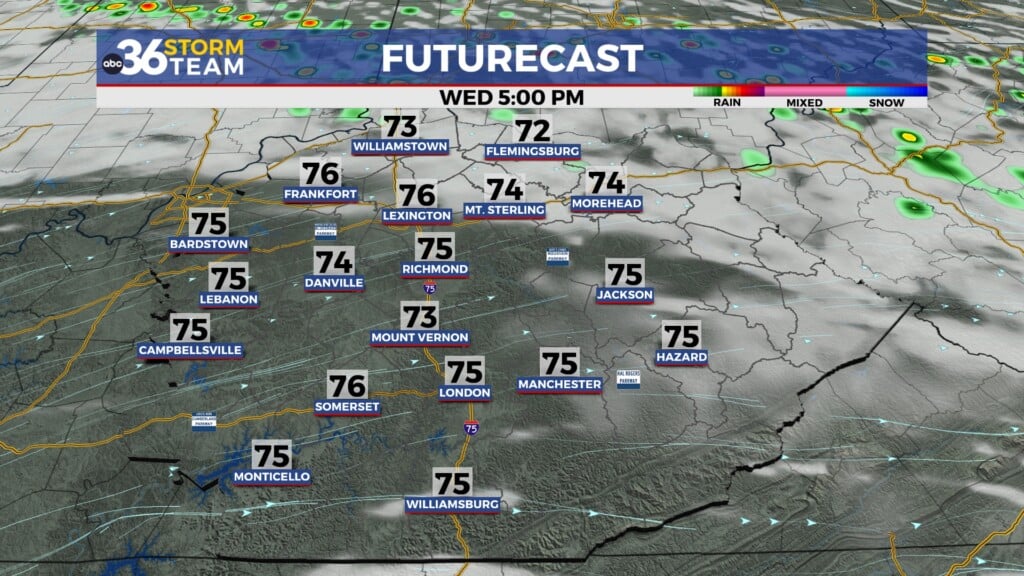
The cold front will not only bring us some beneficial rainfall, but it will also cool temperatures. We’ll see a 10-degree drop in our high temperatures on Tuesday, then we continue with temperatures in the 70s for the rest of the week. Overnight lows will likely drop to the low 50s, with the upper 40s possible by late week. Long-term temperature trends still have us trending above average through the end of October. With average temperatures continuing to dip, fall-like temperatures may still appear, although it’s looking like an overall warm October.


