Pleasant conditions on tap to close out September
Our weather looks pretty ideal the next few days
After a nice final weekend of September across Central and Eastern Kentucky, the dry and unseasonably warm temperatures stuck around on Monday. With a broad area of high pressure in place and plenty of sunshine, afternoon highs all the way into the mid to upper-80sd, a solid 10 degrees plus above average for this time of the year. Tropical Storm Imelda, which looked to be a concern for the southeastern U.S. a few days ago is now forecast to make a hard turn to the east and head out into the Atlantic over the next few days with just low-end impacts along the east coast with some heavy rain and rip currents so that’s a much better scenario compared to what could have been a landfalling hurricane if not for the influence of Hurricane Humberto farther out in the Atlantic.

The quiet conditions will continue into Tuesday with a pleasant start to the day as temperatures start the day into the upper 50s in most locations. With plenty of sunshine around along with drier air, it looks to be very comfortable to be outdoors as a northeast wind coming around high pressure over New England combined with Imelda moving out to sea keeps temperatures and humidity levels nice for the end of September. Afternoon highs should mainly be in the mid-80s, which is still roughly 10 degrees above average for the end of September.


Our weather will be on cruise control as we close out September and kick of October into the mid to late week as high pressure continues to dominate our weather. This tranquil set-up that lasts for several days on end is a typical weather pattern during the early fall. Look for nice mornings and warm afternoons as lots of sunshine is on tap for the Ohio Valley during this stretch. The persistent light northeast breeze should hold afternoon highs into the low to mid-80s, despite all the sunshine and the ground beginning to dry out again after the recent rains from last week.

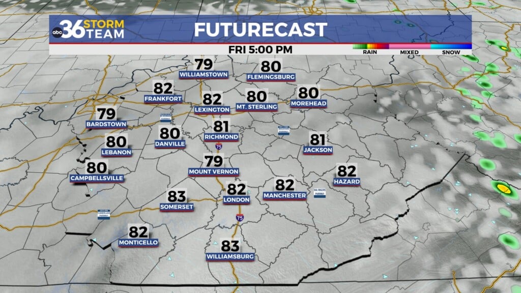
Speaking of rainfall, the consistent showers that helped knock down the drought conditions won’t be on the table anytime soon as the dry and quiet weather persists across Central and Eastern Kentucky into the early days of October. The strides we made to alleviate the drought conditions from the late summer may be undone thanks to the lack of rain chances for the foreseeable future. It will at least be nice for outdoor activities with plenty of sunshine expected through the upcoming weekend along with afternoon highs remaining very pleasant into the low-80s.


ABC 36 Storm Team 36-Hour Forecast:
Monday Night: Mostly clear and pleasant. Lows in the upper-50s. Wind: NE 5-10 mph.
Tuesday: Mostly sunny and warm. Highs in the mid-80s. Wind: NE 5-10 mph.
Tuesday Night: Fair skies and quiet. Lows in the mid-50s. Wind: NE 5-10 mph.