Drying out as we close out the week
Look for nice conditions into the final weekend of September
We saw another round of moderate to heavy rain across parts of Central and Eastern Kentucky during the early hours of Thursday as a wave of low pressure moved across the commonwealth. Most locations in the Bluegrass Region saw a good 1″-2″ of much needed rainfall with areas from Frankfort down the Bluegrass Parkway more in the 2″-3″ range. With the front slowly working eastward, a few additional showers developed during the daylight hours but we did get back into some sunshine after all the overcast conditions on Wednesday as afternoon highs reached the upper 70s.
Heading into the final Friday of September, high pressure will slide in from the west setting us up for a nice finish to the week. We could be in store for some patchy dense fog in the morning so keep that in mind but otherwise it looks like a nice day across the area with sunshine and highs in the upper 70s, which is right around average for this time of the year. Get set for another comfortable evening of high school football with lower humidity levels making it an ideal night for all the action across the commonwealth.
The final weekend of September should be a good one for most locations around the area despite the model data continuing to indicate some lingering upper level energy just off to our southeast. With high pressure sitting just to our west there should be enough dry air in place to win out with mostly sunny skies and pleasant conditions. The farther east you go into the mountains of Southeastern Kentucky, the better chance there could be a few scattered clouds and maybe a pop-up shower possible although most locations should be dry. Afternoon highs will be comfortably warm with highs either side of 80 degrees.
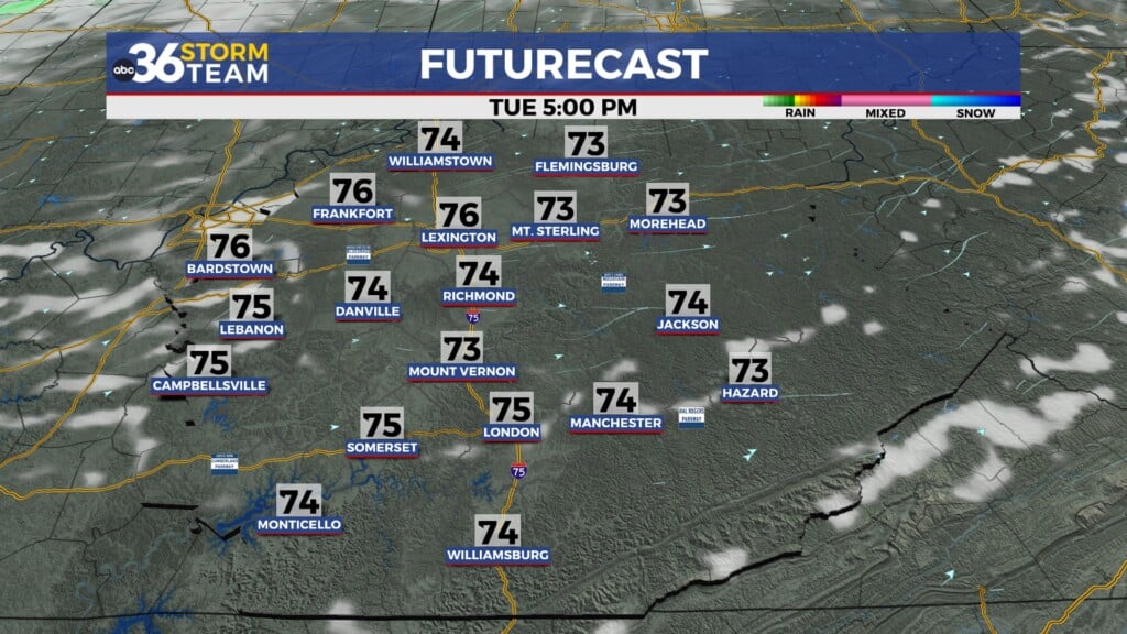
For now the final days of September early next week look dry and warm but the overall forecast is still in question due the presence of the upper level energy along the east coast and now the tropics ramping up a bit as well. At this point an area of disturbed weather is forecast to become tropical and drift northward through the Bahamas and head toward the Carolinas during the early part of next week. What complicates things more than usual will be the presence of Humberto, which is another tropical system that should be a hurricane sitting a few hundred miles farther to the east. So it appears that two tropical systems could be in close proximity to each other and when this happens the Fujiwhara Effect kicks in. This is a phenomenon where the two systems begin to rotate around a common center or one system can absorb the other since they aren’t that far apart. This possibility makes it extremely difficult to forecast the eventual path(s) and impacts so this will be something to watch. We’ll keep our forecast dry and warm with highs in the low 80s into next week but the potential exists for some residual tropical moisture to increase our rain chances as we finish out the month if the area of disturbed weather ramps up and manages to make landfall off to our southeast so stay tuned!
ABC 36 Storm Team 36-Hour Forecast:
Thursday Night: A few clouds, patchy dense fog. Lows in the upper-50s. Wind: N 5-10 mph.
Friday: Fog early, then mostly sunny and nice. Highs in the upper-70s. Wind: N 5 mph.
Friday Night: Fair skies and pleasant. Lows in the upper-50s. Wind: NE 5 mph.


