Wet and unsettled weather continues into Thursday
Several rounds of showers will move through with some heavy rain possible
It was a wet and stormy Wednesday across Central and Eastern Kentucky with a slow moving area of low pressure pulling a trailing cold front into the region. The rain gear came in handy from time to time with pockets of moderate to heavy rain on occasion. The good news is that the overall severe threat stayed low so we managed to avoid any major issues there. Clouds and showers helped hold temperatures in check with afternoon highs into the mid to upper 70s.
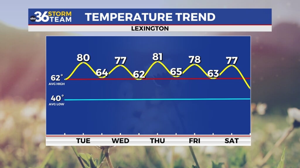
The front and associated low pressure system will slowly move through the commonwealth on Thursday bringing more showers and storms to the area. By the time we start to see things dry out late in the day, we should be looking at additional rainfall totals in the 1″ to 2″ range which should go a long way to knocking back the drought conditions we’ve dealt with the last month of so after you combine the expected rainfall into Thursday with what we picked up earlier this week. Afternoon highs will remain pretty close to average with temperatures in the mid to upper 70s.
The front should clear the area for Friday and into the upcoming weekend with drier air moving in along with high pressure. With some sunshine back in the picture, afternoon highs should climb back toward the 80 degree mark and it appears to be another good night for high school football across the area. The final weekend of September is upon us and there are plenty of fall festivals on tap across the area and it appears for the most part our weather will cooperate. Again the only X factor is some upper level energy stalling out over the Carolinas with some of the data trying to throw a few clouds and a bit of moisture back into Central and Eastern Kentucky so there is a low end chance of this scenario playing out so that’s something to watch.
Heading into the final days of September early next week it should be a bit of a standoff between dry air and high pressure up against the aforementioned upper level energy off to our southeast. The model data has consistently gone back and forth with the possibility of some clouds and an isolated shower or two the farther east you go in the commonwealth as that upper level system brings moisture off of the Atlantic. Many times this scenario can be overly aggressive, especially considering the east to northeast wind coming around low pressure to our southeast typically promotes “down sloping” coming out of the mountains, which forces the air down and dries it out, thus reducing the overall low-end shower chances. For now we are looking at some sunshine and highs in the low 80s with an isolated shower or two not entirely off the table given the set-up mentioned above. Either way it shouldn’t be overly impactful and mainly dry in most locations.
ABC 36 Storm Team 36-Hour Forecast:
Wednesday Night: Scattered rain and storms. Lows in the mid-60s. Wind: SW 5-10 mph.
Thursday: Showers and storms, winding down late. Highs in the upper-70s. Wind: W 5-10 mph.
Thursday Night: A few clouds and drying out. Lows in the upper-50s. Wind: NW 5-10 mph.


