Dry and unseasonably warm conditions roll along
Afternoon highs will remain in the upper 80s to around 90 degrees
It was the same ole song and dance weather-wise across Central and Eastern Kentucky with more sunshine and unseasonably warm temperatures on Wednesday. With such a dry ground given the lack of rainfall over the last month, the sun’s efficiency with warming the surface during the course of the day is pretty high, even with shorter days and a lower sun angle. This allowed afternoon highs back into the upper 80s to near 90 degrees for most spots with the eastern mountains remaining more into the low to mid-80s.

Look for more dry and hot mid-September weather heading into Thursday as surface high pressure builds into the Ohio Valley. With abundant sunshine expected once again, temperatures should overachieve in most locations with upper 80s and low 90s on tap for afternoon highs. The one positive is that we aren’t dealing with any humidity to speak of so that helps with the overall comfort level, especially if you can find some shade if you have to be out and about.

Heading into Friday and the upcoming weekend, a slow moving frontal boundary to our west will creep eastward toward the Ohio Valley but the upper level ridge of high pressure now looks to hold on long enough to delay any rain chances until deeper in the weekend. This will keep the dry and hot weather in place with highs generally around the 90 degree mark here in Central Kentucky with mid to upper-80s in the east. It does look pleasantly warm for high school football Friday evening, especially given the lack of humidity. This weekend there are a number of fall festivals in full swing across the region and while it should be dry, you’ll need to hydrate and use sunscreen during the afternoon sunshine given the heat expected as we hit the home stretch of summer.


The aforementioned boundary will crawl eastward for the final day of summer on Sunday, increasing our chances for a few isolated showers and storms. Don’t cancel any outdoor plans as the activity should be few and far between. Afternoon highs will climb back into the upper 80s to near 90 degrees despite a few more scattered clouds around. The fall season officially arrives Monday afternoon but it will continue to feel summer-like as temperatures remain above average. It does appear our overall storm chances will pick up given an upper level low that may be camped out just to our west. While rainfall amounts shouldn’t be enough to break the drought, we’ll take whatever we can get as moisture in the ground is definitely needed.


ABC 36 Storm Team 36-Hour Forecast:
Wednesday Night: Mostly clear and pleasant. Lows in the upper-50s. Wind: NW 5 mph.
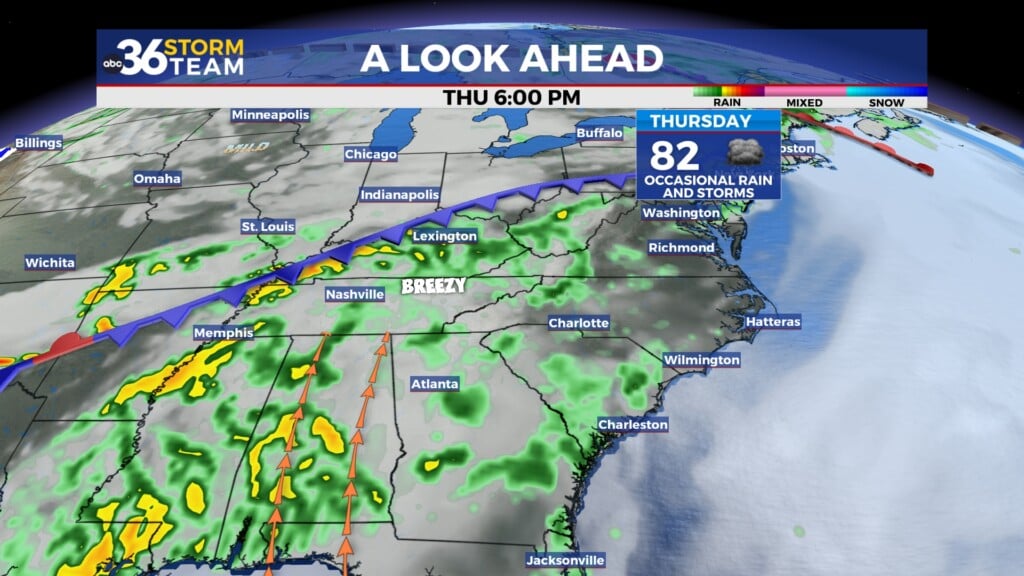
Thursday: More sunshine, hot and dry. Highs in the upper-80s. Wind: NW 5 mph.
Thursday Night: Fair skies and quiet. Lows in the upper-50s to around 60 degrees. Wind: N 5 mph.