Rain Chances Return Midweek Across Kentucky
After a warm and mostly dry Labor Day, scattered showers and storms move back in by Wednesday and Thursday.
Labor Day Starts on a Warm Note
We’re kicking off Labor Day Monday on a pretty good note across central and eastern Kentucky. Temperatures are climbing into the low to mid 80s, making it feel warm but still pleasant for outdoor gatherings. While most of us are staying dry, we’re beginning to see a few scattered showers and storms bubble up in southern Kentucky, especially closer to Lake Cumberland. For the majority of the viewing area, the day will feature plenty of dry time — but don’t be surprised if you catch a quick downpour in spots.
Midweek Rain Chances Return
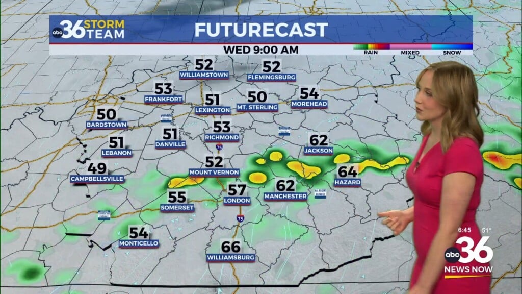
After a dry stretch the past couple of weeks, our rain chances finally return this week. A cold front is expected to push into the region by Wednesday, sparking isolated to scattered showers and storms. This will be our best shot at widespread rainfall in a while, especially across southern and eastern Kentucky. Totals of a half inch to an inch look possible by the time Thursday wraps up, but unfortunately it won’t be enough to completely erase our ongoing drought conditions.
Cooler Air Settles In
Behind that front, cooler and drier air will filter into the Ohio Valley, setting us up for a refreshing start to September. Afternoon highs will slip back into the 70s for much of the area by late week, with comfortable mornings in the 50s and 60s. It looks like we’ll close the week with more of that fall-like feel — perfect for outdoor activities heading into the weekend.


