Soggy afternoon ahead with rain chances through end of week
Isolated showers in the morning, scattered by the afternoon
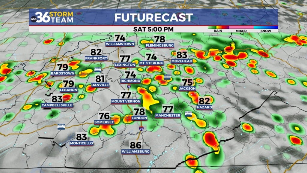
South of I-44 has already seen a few isolated showers. These will continue to linger through the late morning, mainly sticking to south-central KY. After lunchtime, we’ll see shower coverage increasing with the opportunity for a few storms as well. These storms look to remain sub-severe. A few storms could strengthen some, with the main hazards being some gusty winds, frequent lightning, and torrential downpours that could lead to some localized flash flooding.
Keep the umbrellas handy through Thursday
Rain chances will linger through the end of the week. We’ll see some isolated to scattered chances Thursday, drying out more with only a few showers Friday afternoon. Coverage will be less than we’ll see today, but you may still get hit with some heavy rainfall. Others will be able to stay mostly or even completely dry!
Temperatures rebound after rain clears
Temperatures will be a few degrees cooler today due to mostly cloudy skies and rain chances, near 87. Thursday, when we can get some more sunshine, we’ll get a few degrees warmer. By Friday, we’ll likely return to the 90s with a warm weekend ahead. Low to mid 90s for Saturday and Sunday, and possibly a return of heat indices in the upper 90s to near 100.
Wednesday: Mostly cloudy, isolated AM showers, scattered PM storms. Highs in the upper-80s. Wind: SW 5 mph.
Wednesday Night: Warm and muggy, drying up. Lows in the upper-60s. Wind: W 5 mph.
Thursday: Partly cloudy, isolated showers. Highs in the upper 80s. Wind: Calm