Scattered showers and storms on tap for Father’s Day weekend
Take the rain gear along for any outdoor plans
After a warm and humid finish to the week, we’re sliding right into a more unsettled weather pattern across Central and Eastern Kentucky—and the weekend looks like it’ll be carrying that baton. Friday saw a few scattered downpours, and while not everyone got wet, those who did may have experienced a brief tropical-style drenching. That’s thanks to a steady stream of moisture riding north from the Gulf, and unfortunately, it’s not going anywhere just yet.
More Rounds of Rain and Thunder This Weekend
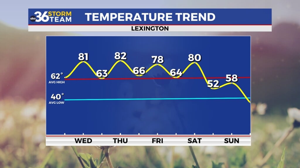
On Saturday, an upper-level low spinning over the Ohio Valley will help trigger more scattered showers and thunderstorms. While we’re not looking at a total washout, there will be pockets of heavier rain that could put a damper on outdoor plans from time to time. If you’re planning to be out and about—especially in the afternoon—it’s not a bad idea to keep the umbrella nearby. Temperatures will top out in the low 80s, but with all that moisture in the air, it will still feel quite muggy.
Looking ahead to Father’s Day Sunday, expect more of the same. Scattered storms are likely again during the peak heating hours, and any storms that do develop will be slow-movers, thanks to weaker winds higher in the atmosphere. That increases the risk for localized downpours and perhaps some minor flooding in areas that see multiple rounds of storms. It won’t be a total washout, but it won’t be bone dry either.
Into Next Week: Muggy and Stormy, but a Glimpse of Summer Ahead
As we transition into the early part of next week, the upper-level system responsible for all this weekend rain will start to drift east. That means we may see fewer showers and storms on Monday, though the pattern will still support pop-up activity, particularly in the afternoon. A warm, humid air mass will remain in place across the region, keeping things feeling very summer-like.
By mid to late week, we’ll keep the daily rain and storm chances going—especially in the afternoon—but signs are pointing toward some gradual drying and warming as we close out the spring season. Temperatures should climb back into the mid to upper 80s, which lines up perfectly with the official start of summer. The Summer Solstice arrives at 10:41 PM next Friday, and if some of the longer-range data is right, we may begin to see more sunshine and fewer storms as we head into next weekend.
Friday Night: Muggy with isolated storms. Lows in the upper-60s. Wind: SW 5 mph.
Saturday: Humid with scattered storms. Highs in the low-80s. Wind: SW 5-10 mph.
Saturday Night: More rain and storms. Lows in the upper-60s. Wind: S 5-10 mph.


