Storm chances return as warm air sticks around
We'll shift back into a more unsettled pattern for the late week
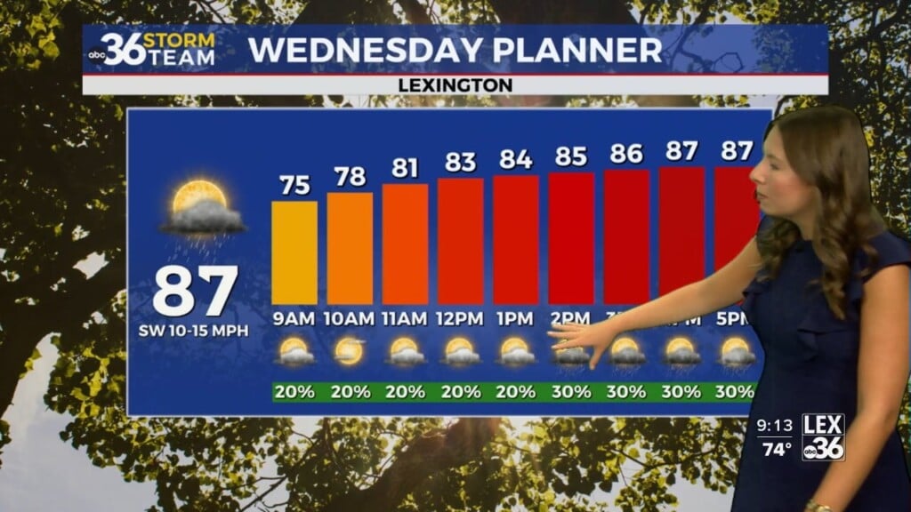
Central and Eastern Kentucky soaked in another gorgeous early June day Wednesday, with plenty of sunshine, hazy blue skies, and temperatures soaring into the mid to upper 80s—a few degrees above our seasonal norms. A breezy south wind added to that summer feel, while the thin layer of wildfire smoke high in the atmosphere (from fires burning in Canada) once again painted the sky with vivid sunrises early in the day. If you found time to enjoy the weather, good move—because the forecast is about to take a stormy turn.

Scattered Storms Arrive Thursday—Not a Washout, But Keep the Umbrella Handy
A slow-moving cold front will sag into the Ohio Valley on Thursday, bringing with it our next round of scattered showers and thunderstorms. This won’t be an all-day soaker, but there will be periods of rain and rumbles of thunder to dodge throughout the day. With clouds around and some sunshine still sneaking through, temperatures will remain warm, reaching the low to mid-80s in most spots. Expect some locally heavy downpours at times, especially by the afternoon and evening.


Strong to Severe Storms Possible Friday—Stay Weather Aware
As we head into Friday, a wave of low pressure will ride along the stalled front, making for a stormy end to the week. Much of the region, including Central and Eastern Kentucky, sits in a Level 2 (Slight Risk) for severe storms. That means damaging winds and hail will be the primary threats, especially during the afternoon and evening hours.

We’ve already seen our fair share of severe weather this spring, and while this doesn’t look like a widespread outbreak, a few stronger storms could pack a punch. In addition, heavy rain from multiple rounds of storms could lead to localized flooding, with totals in the 1″ to 2″ range possible by the end of Friday. So if your yard dries out quickly—great! But low-lying and flood-prone areas will need some attention.

Weekend Starts Unsettled, but a Drier Break May Arrive Sunday
That pesky front doesn’t leave quietly—scattered showers and storms will likely linger into Saturday, especially across southern and eastern parts of the state. Not a total washout, but you’ll want to have the rain gear nearby if you’re making outdoor plans. Highs will remain seasonable, around 80 degrees, but a bit cooler under thicker cloud cover.

Looking ahead to Sunday, we may catch a much-needed break as the front sinks south and a lull in energy overhead gives us drier and more pleasant weather. That should be your best chance for outdoor plans without interruption. But don’t get too comfortable—a new disturbance could bring more showers and storms back into the picture Monday and Tuesday before things finally trend drier and cooler by midweek.

Wednesday Night: A few clouds and mild. Lows in the upper-60s. Wind: S 5 mph.
Thursday: Partly sunny with scattered storms. Highs in the mid-80s. Wind: SW 5 mph.
Thursday Night: Muggy with a few storms. Lows in the upper-60s. Wind: SW 5 mph.