Warming up as we head into the holiday weekend
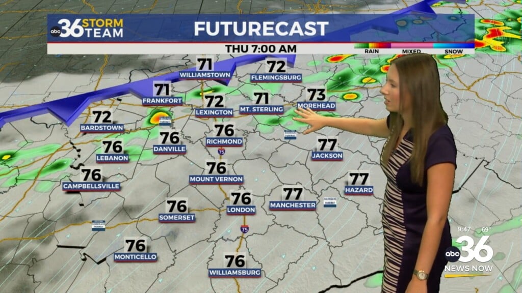
A warm front lifts through the area late Thursday leading to a spike in temps on Friday
LEXINGTON, Ky. (ABC 36 NEWS NOW) – It’s another crisp and frosty start to the day across spots of central and eastern Kentucky, with some sheltered valleys dipping into the mid-30s early this morning. If you’re heading out early, a jacket won’t be a bad idea—but it won’t be needed for long!
A warm front will lift through the region later today, bringing a noticeable change in temperatures. Ahead of it, we’ll see increasing clouds this afternoon, and while a stray shower or sprinkle can’t be ruled out, most areas will stay dry. Highs will rebound nicely into the upper 70s to near 80°—a big improvement over the chilly start. By Friday, southerly winds crank up, ushering in even warmer air across the Commonwealth. Expect breezy conditions and highs right around 80°, with plenty of dry time through the day.
Easter Weekend Outlook:
As we head into the weekend, a frontal boundary dropping in from the northwest will bring a return of showers and thunderstorms, especially late Friday night into Saturday. While the exact placement of that front is still a bit uncertain, areas south of it will be most favored for thunderstorm development.
The Storm Prediction Center has placed the northern half of Kentucky—including parts of central Kentucky—under a Level 1 out of 5 risk for severe weather on Saturday into Saturday night. This risk is on the lower end but does include the potential for isolated strong storms, especially if the front lingers farther south into the region.
We don’t expect you to cancel your Saturday plans—but it’s a good idea to keep a close eye on the forecast, especially later in the day. Stay weather-aware if you’re spending time outdoors or traveling.
For Easter Sunday, lingering showers and a few thunderstorms will still be possible, but overall coverage and intensity look lower than Saturday. By Sunday night into Monday, another round of rain and storms will likely arrive as a stronger cold front moves through.
Behind that front, temperatures cool slightly—but not dramatically. Highs in the 60s return by Tuesday, bringing a more seasonable feel to the region.