Quiet weather across the area for this first full week of August
Following several days of stormy conditions last week, we should see just the opposite in the coming days
It was a pretty typical start to the first full week of August weather-wise across Central and Eastern Kentucky with sunshine along with hot and humid conditions. Most locations managed to reach the upper 80s and low 90s for afternoon highs and with a decent amount of humidity around, it definitely added to the “discomfort” factor if you were outdoors for any length of time. Heat Index values managed to stay just shy of 100 degrees for the majority of the area but with more summer heat in store on Tuesday and temperatures expected to be a few degrees hotter, we could see those readings jump over 100 degrees at times so keep that in mind. The good news is that we won’t be baking in the heat all week with some positive changes on the horizon.
Tuesday should be out hottest day of this week with highs jumping into the mid-90s here in the Bluegrass with low 90s elsewhere. As mentioned above there should be just enough muggy air to sneak into triple digit heat index values so make sure you hydrate properly if you have to be outdoors for any length of time. Luckily this heat and humidity won’t last long as 2 separate frontal boundaries, one mid-week and the other late-week will usher in a some slightly “cooler” air each time they pass so that should help make it feel much more comfortable as the week wears on. Rain chances are minimal at best with the passage of these fronts with maybe a few scattered clouds here and there.
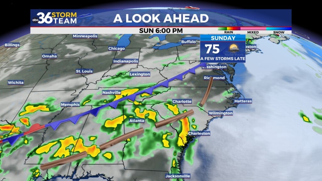
The big weather story national is Tropical Storm Debby impacting the southeastern U.S. after making landfall early Monday morning as a Category 1 hurricane in the “Big Bend” area of northwest Florida along the Gulf of Mexico. The major issue going forward with Debby is that the upper level winds just aren’t there to move Debby along at all so the storm is expected to drift northeastward into Southern Georgia and possibly move into the Atlantic into the mid-week. While it should stay a tropical storm, the issue will be some potential historic and catastrophic rainfall and flooding into the “low country” of South Carolina. These tropical systems have a tremendous amount of moisture with them, especially when Atlantic moisture may be pulled on-shore so a lot of the data is showing a solid 10″-20″ rain event through this week in the part of the southeast U.S. with localized spots seeing up to 30 inches. This will be a devastating even for that region if it comes to fruition so we’ll keep an eye on things in the coming days.
The first “boundary” should pass through the Ohio Valley Wednesday helping to knock out temperatures back a bit with afternoon highs into the upper 80s and slightly lower humidity levels. It will really be the 2nd boundary the drifts through on Friday that will have the biggest impact as a decent shot of “cooler” air with less humidity (with our “muggy-cast” really taking a tumble) arrives late Friday and just in time for the upcoming weekend. Let’s definitely keep our fingers crossed since at this juncture it may end up being an unseasonably pleasant August weekend with sunshine, nice temperatures in the low to mid-80s for highs on low humidity levels. So the bottom line keep an eye on the forecast and you may want to make some outdoor plans this weekend and take advantage of what could be an amazing weekend!
ABC 36 HOUR FORECAST
MONDAY NIGHT: Clear skies, warm and muggy. Lows in the low-70s.
TUESDAY: Hazy sunshine, hot and humid. Highs in the low to mid-90s.
TUESDAY NIGHT: Fair skies, warm and muggy. Lows in the low-70s.


