One more round of strong-to-severe storms Friday ahead of a nice weekend
Meteorologist Dillon Gaudet has the latest in your full ABC 36 Storm Team forecast
L
EXINGTON, Ky. (ABC 36 NEWS NOW) – Happy Friday! Hope everyone had a great Independence Day. It’s a warm and muggy morning once again. Good news is that we will get a break from that for the weekend, we just have to get through a round of storms today. There is a Level 1 Severe Risk out for all of central and eastern Kentucky. Damaging wind gusts are the primary severe threat. Torrential downpours will also be possible in the strongest storms. There could also be a few very isolated rotating storms within the line of storms moving in. This threat is very low, but I want to mention it just in case we get any warnings. This WON’T be an all day rain and storm threat.
The main action today will be a line/cluster of storms moving from west to east during the late morning and afternoon hours. The I-65 corridor will be experiencing this round of storms during the morning hours before it enters our area by lunchtime. On the backside of the main line and cluster of storms there will be a few isolated showers and storms possible ahead of the main cold front that will push through overnight.
It’s going to be warm and muggy before the storms move in. We will lose a lot of this muggy feel once the front passes late tonight into Saturday morning. Saturday and Sunday will be two fantastic days across the region. Afternoon highs on Saturday will stay in the mid-80s, while Sunday will be a few degrees warmer into the mid-to-upper 80s. The humidity won’t as either Saturday or Sunday. Overall a fantastic end to the extended holiday weekend.
Early next week will be hot and humid once again with temperatures on Monday returning to the low-to-mid 90s. It’s likely that we get some influx of tropical moisture by the end next week. The real question is what exactly happens with the remnants of now Hurricane Beryl. If the system slows down and falls apart over southern Texas, we will likely just get some added moisture to fire up typical summer showers and storms. If the remnant area of low pressure from Beryl does works it’s way up to our area, that means we could see some heavier rain chances late next week. It is still too early for exact specifics, especially considering Beryl is just now making landfall along the Yucatan Peninsula.
Stay with the ABC 36 Storm Team for more updates.
ABC 36 HOUR FORECAST
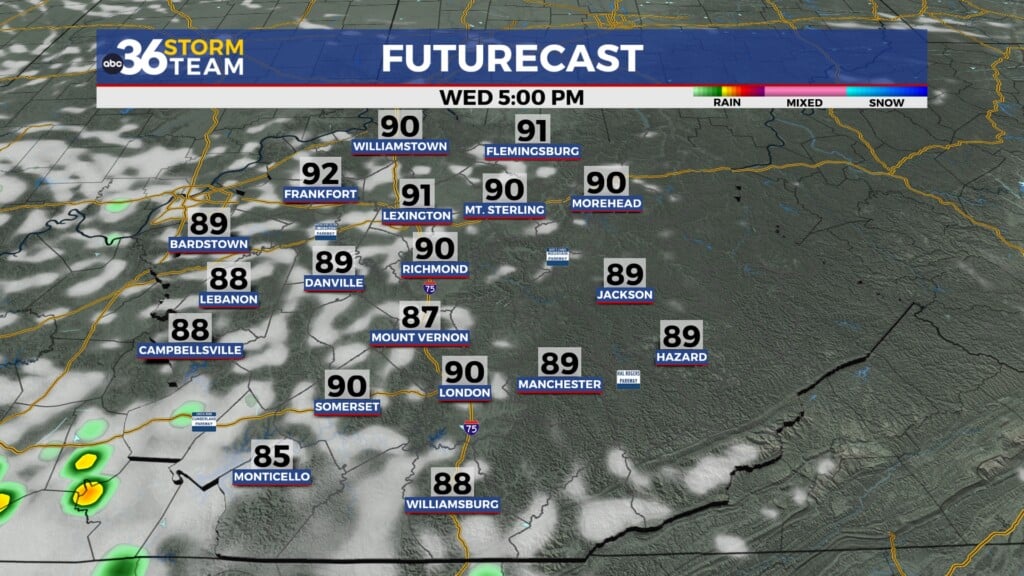
FRIDAY: Midday and afternoon round of storms. Highs in the mid-to-upper 80s.
FRIDAY NIGHT: Rain chances exit east, not as muggy. Lows in the 60s.
SATURDAY: Mostly sunny and feeling great. Highs in the mid-80s.