A quiet Friday before our next storm system arrives to begin the weekend
We are still looking at some wet snow chances into early Saturday, especially across Central and Northern Kentucky
Clouds have been the rule across Central and Eastern Kentucky the first few days of 2024 and for the most part much of Thursday was no exception. Luckily we did see some sunshine break out into the late afternoon, which was a welcome sight given the dreary conditions lately. With the weak boundary passing through early Thursday and a north wind in place, even the afternoon sunshine didn’t do much to moderate temperatures as afternoon highs struggled to reach the upper 30s and low 40s.

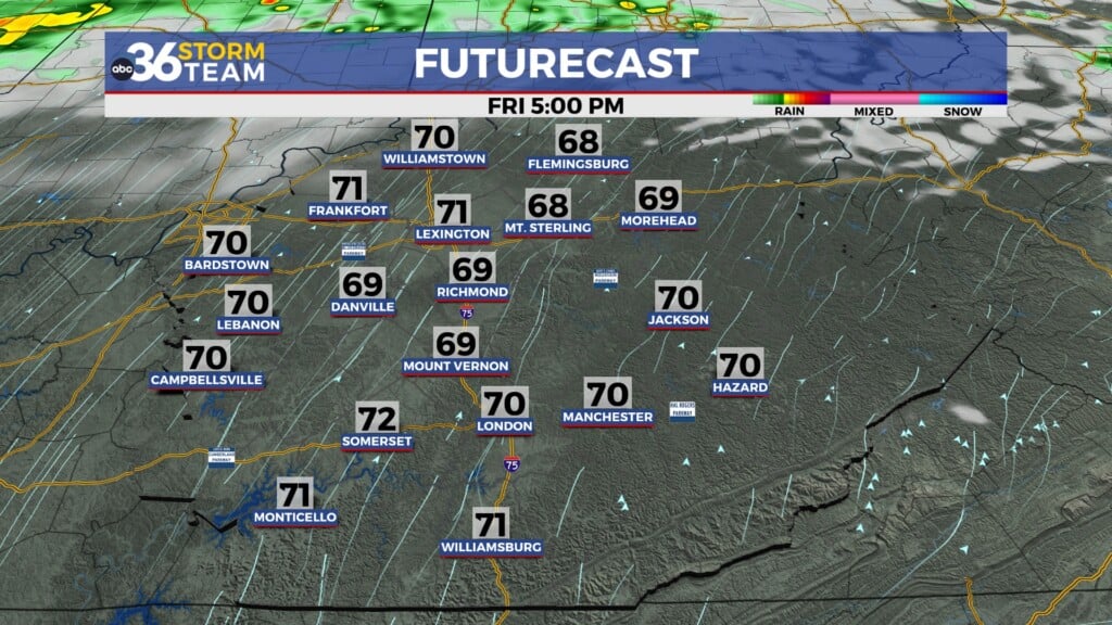
Friday looks quiet before our active weather pattern kicks in this weekend as high pressure briefly drifts through the Ohio Valley. After starting out partly sunny we should see clouds steadily increase through the day as the much advertised storm system heads our way. Afternoon highs look to reach the low 40s across the board and the leading edge of the moisture could arrive by Friday evening with mainly a few rain showers.

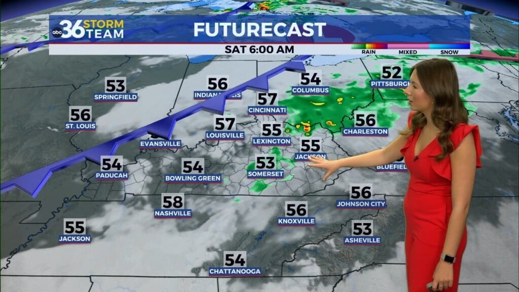
An area of low pressure will spin by just to our southwest into the early hours of Saturday bring rain and snow to Central and Eastern Kentucky. Now that we are closer to the event we have a better handle on the likely scenario for this system. First off it should move pretty quickly so the precipitation should be mainly during the morning hours before this system pulls away. Right now it appears most of Southern Kentucky will just see a chilly rain with some light slushy snow accumulations possible along the I-64 corridor northward.
Keep in mind that temperatures will be at or above freezing so the snow will be wet and should have little impact on the roads as temperatures actually climb toward 40 degrees later in the day as the wave exits top the northeast. The bottom line is that we aren’t look at a significant winter system this time but do expect some wet and potentially slushy roads if you are out and about.


Another secondary wave and boundary will slide through for the second half of the weekend with some additional light rain showers possible on Sunday. The approach of this wave will keep temperatures from falling below freezing Saturday night so that should minimize concerns over slick roadways due to a big drop in temperatures. Afternoon highs to end the weekend on Sunday should be either side of the 40 degree mark.

Our focus shifts to a dynamic storm system heading our way next Tuesday as a strong are of low pressure spins through the Ohio Valley with a good bit of rain and strong winds. While we are still looking at solid rain and winds gusting over 40 miles per hour at times, some of the latest data has shift the track a little farther south which could potentially bring some wintry weather just to our north before the milder air spins in with all rain through the afternoon as highs surge into the low 50s.
Colder air wrapping in on the backside could produce a few snow showers into Wednesday but the other major aspect of this system will be strong winds. We are still looking at the potential for winds to gust over 40 miles per hour at times through Tuesday which may put us into the Wind Advisory criteria.


ABC 36 HOUR FORECAST
THURSDAY NIGHT: Mostly clear and cold. Lows in low-20s.
FRIDAY: Partly sunny, still chilly with increasing clouds late. Highs in the low-40s.
FRIDAY NIGHT: Rain and snow develops. Lows in the low to mid-30s.


