Severe weather on the way for Monday
Meteorologist Jordan Smith has a look at your Sunday evening forecast!
Lexington, Kentucky (WTVQ – ABC 36): Good Sunday evening everyone, scattered showers and thunderstorms have been out there since this afternoon and will continue to be possible the remainder of the evening. We still run the risk for a couple to be strong or severe as the SPC still has our entire area under a “MARGINAL” risk (level 1/5).

Once past tonight, here are our weather headlines for the week ahead.

Monday is shaping up to be an active day across the Commonwealth as we track in two different rounds of strong to severe storms. One round is likely to come through tomorrow morning.

Sunshine then comes out during the afternoon and disables the atmosphere for another round during the evening.

ALL MODES of severe weather will be possible for both rounds and the SPC already has all of central and eastern Kentucky in a “SLIGHT” risk (level 2/5). But don’t be surprised if we don’t see an upgrade at some point by tomorrow for parts of our area.

Damaging winds are our main concern, but isolated hail and an isolated tornado can’t be ruled out.

Winds will also be gusty tomorrow outside of storms with gust of 20-30mph likely!

Make sure you are staying with the ABC 36 Storm Team on-air and online for updates!
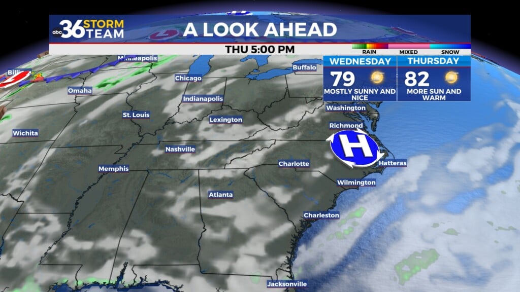
Once the storms move out tomorrow night, that will set us up for an extended dry stretch. Our temperatures for Tuesday and Wednesday will feel more like September rather than mid August with highs in the mid to upper 70s and lows in the mid to upper 50s.


Back here in the short term:
TONIGHT:

TOMORROW: