Smoke and haze is on the way for Sunday
Meteorologist Jordan Smith has a look at your Saturday evening forecast!
Lexington Kentucky (WTVQ ABC 36): Good Saturday evening everyone, it has been a warm day with scattered rain and storms across central and eastern Kentucky. Scattered storms will continue through tonight but we will dry things up after midnight. That leads us to todays weather headlines.

It has been a couple weeks since we have dealt with the smoke and haze from the Canadian wildfires, but it is returning for our Sunday into Monday time frame. It could get pretty thick so visibility will be down and air quality will not be very good. If you have asthma or any breathing problems please keep this in mind as you head out during this time frame.

Outside of the smoke it will be dry and hot with temperatures in the upper 80s.

Monday will still be hazy outside of the rain and storms. But scattered showers and storms will go up during the afternoon and evening, so that will help with our haze. You can see that on the future cast smoke radar which has a hole across our area once storms develop.

Future cast also shows the coverage of rain and storms. It won’t rain all day on Monday and there will be plenty of dry times, but when it does it could be heavy and also bring lots of lightning with it.

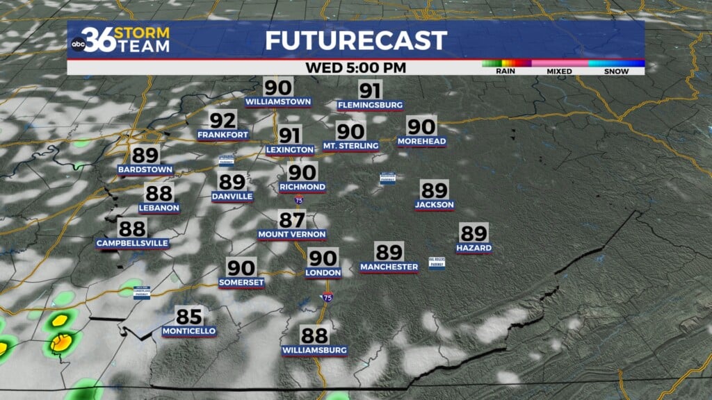
Tuesday and Wednesday both is likely to feature additional waves of showers and storms moving through the area. Like Monday, neither day is a washout but we will have to dodge some rain and storms.


Storms could become more scattered into Thursday and Friday, but we will have to fine tune that in the coming days because models just isn’t handling our storm chances very well from several days out. Something that does look likely for the middle and end of the week is a BIG jump in humidity levels.

As always, make sure you are staying with the ABC 36 Storm Team on-air and online for updates. #kywx ]
Back here in the short term:
TONIGHT:

SUNDAY: