A few quiet days before more unsettled and stormy weather returns late week
Our much needed break from the rain and storms should last through Wednesday.
It was a great start to this second week of July across Central and Eastern Kentucky with a mix of clouds and sunshine along with afternoon highs in the low 80s. With drier air, low humidity levels and below average temperatures, it felt fantastic on Monday. More importantly it was dry to begin the week and we should squeeze in a few more nice summer days before we shift back into a more “July-like” pattern. The only speed bump Monday was some dense fog in spots early but the sun helped to get rid of that quickly.


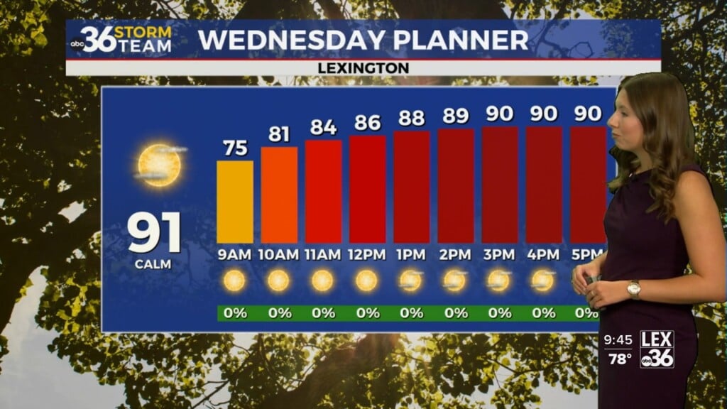
It should be another banner day here in the Bluegrass Tuesday as high pressure drifts eastward through the Ohio Valley. With more sunshine around, afternoon highs should be a few degrees warmer with afternoon highs back into the mid and upper 80s. Humidity levels should remain manageable so it shouldn’t be overly humid on Tuesday.

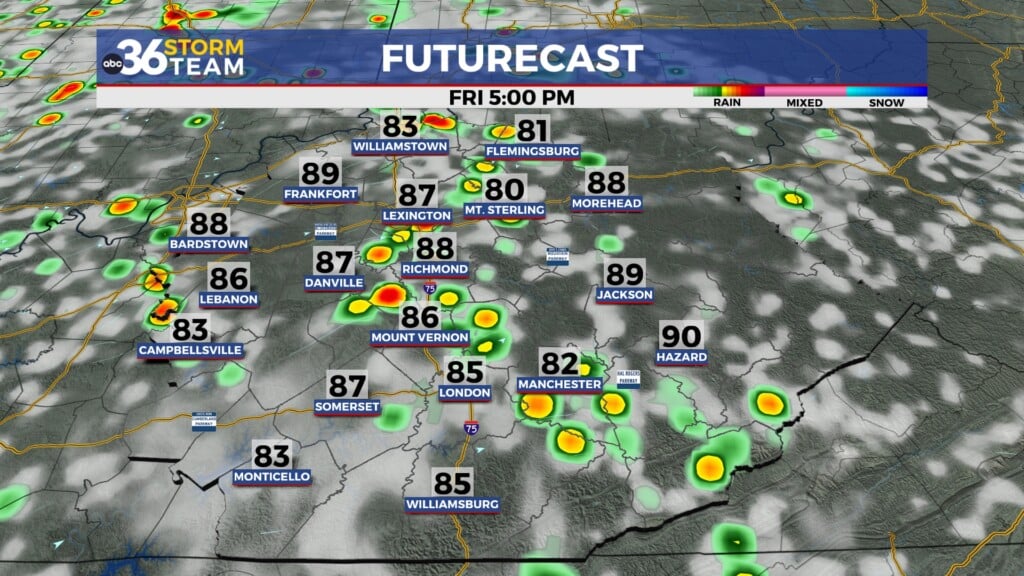
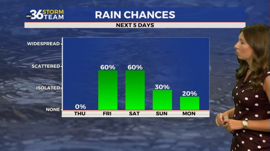
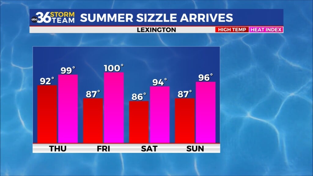
We begin to shift back into a more muggy and unsettled weather pattern into the mid and late week. As the area of high pressure drifts east of Kentucky the door will be open for moisture from the Gulf of Mexico to stream back northward into the area. This will increase the humidity levels and the muggy air along with setting the table for thunderstorm chances to return. With a boundary to our north late week and a few waves of energy riding along it, showers and storms will be on the table with some heavier downpours possible at times into Thursday.


Expect more unsettled weather into the upcoming weekend as we remain in the humid air with a frontal boundary drifting in from the northwest. It should be a total wash-out on any particular day but we will be dodging a few storms from time to time so plan accordingly for your weekend plans. With some clouds and storms around, afternoon highs should remain into the mid-80s into early next week.

ABC 36 HOUR FORECAST
MONDAY NIGHT: Mostly clear, patchy fog. Lows in the low-60s.
TUESDAY: Mostly sunny and a bit warmer. Highs in the mid to upper-80s.
TUESDAY NIGHT: Fair skies and quiet. Lows in the mid-60s.