One more day of comfortable weather before temperatures climb and storm chances return
High pressure will move east of the area Sunday as our next storm system develops to the west
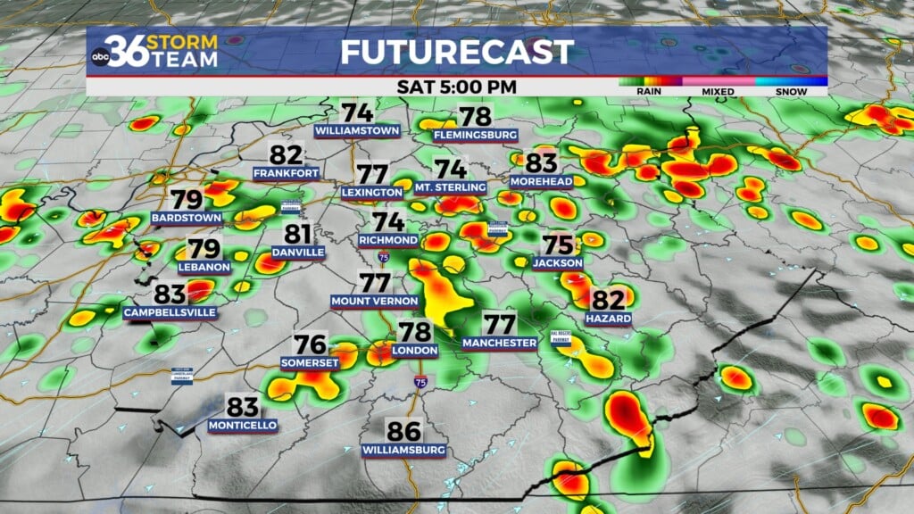
Saturday was another beautiful day across Central and Eastern Kentucky! Despite temperatures climbing into the mid-80s Saturday afternoon, light north and northeast winds managed to keep humidity levels down, bringing a refreshing feel to the air.

The weather pattern begins to change slightly Sunday, with a few more clouds and an uptick in humidity With increasing south and southwest flow, moisture will begin to trickle back in. While most of Central and Eastern Kentucky will stay dry, there is a slight chance of an afternoon shower across far southern Kentucky. With all that being said, it will still be a very pleasant day for early June standards.

As we head into the new work week, expect a warm and muggy start to Monday as a developing storm system moves closer. There is another slight chance of a few isolated showers Monday afternoon, but the better chance of rain should hold off until after dark. Warm and humid air will be locked into place and stick around through Thursday.

A cold front will slowly move through the region from late Monday through Wednesday evening. Plenty of dry time is expected throughout this period, with the highest concentration of rain being late Monday night and again on Wednesday. Severe weather is unlikely with this system, but heavy rain, g
usty winds, and frequent lightning is possible in the strongest of storms.