Warming up Wednesday ahead of late week storms
Temperatures on Wednesday will push the upper 70s near 80 ahead of rain and storms late week
LEXINGTON, Ky. (ABC 36 NEWS NOW) – It’s a chilly start across central and eastern Kentucky this Wednesday morning with some areas dipping into the low 40s early on. But don’t let the cool air fool you—temperatures are headed for a big warm-up this afternoon!
We’re expecting highs to climb into the upper 70s to near 80° under mostly sunny skies. If you’re heading out to Keeneland for the final Wednesday of the Spring Meet, it’s going to feel more like early summer. You couldn’t ask for much better weather, but make sure to stay hydrated if you’re out enjoying the sun for a few hours.
Now’s your window for yardwork or any outdoor plans! Today is the pick day of the week as changes are on the way. Moisture begins returning Thursday, leading to scattered showers and a few thunderstorms by the afternoon. The risk for severe weather is very low, but localized heavy downpours are possible—especially Thursday evening into Friday.
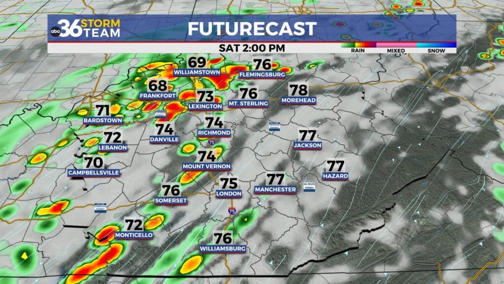
Rain and storm chances ramp up on Friday as a frontal system slowly works across the region. While widespread severe weather is not expected, we could see rounds of slow-moving storms that may drop 0.5–1 inch of rain through early Saturday. Any flooding issues would be isolated, mainly in poor drainage areas.
As that system moves out, we’ll see a cooler, breezy Saturday with highs only in the 60s. Skies may stay mostly cloudy, but things start drying out into Saturday night. Sunday looks like the better half of the weekend with a return to more sunshine and seasonable highs in the low 70s.
Looking ahead to early next week, temperatures warm up again into the upper 70s and low 80s Monday and Tuesday—right ahead of another round of rain and storms by midweek.
Stay with the ABC 36 Storm Team for the latest as we track the rain chances into the end of the week and another warm-up early next week!