Warm Friday, a few evening showers, then a taste of summer
Warm and breezy Friday, with a few evening showers
Friday brings a solid spring day overall. Expect a mix of sun and increasing clouds, with temperatures climbing into the mid to upper 70s, close to 80 in a few spots. A light southwest breeze will pick up at times, adding just enough wind to keep things feeling fresh.
By late afternoon and into the evening, a weak cold front approaches from the northwest. That’ll be enough to spark a few scattered showers, mainly across northern parts of the region. A rumble of thunder isn’t out of the question, but overall, storms look pretty limited and nothing too intense.
This front looks to arrive at the I-64 corridor around 9 pm.
Any rain that does develop will be hit-or-miss and should fade out as the night goes on.
Quiet and warm into the weekend
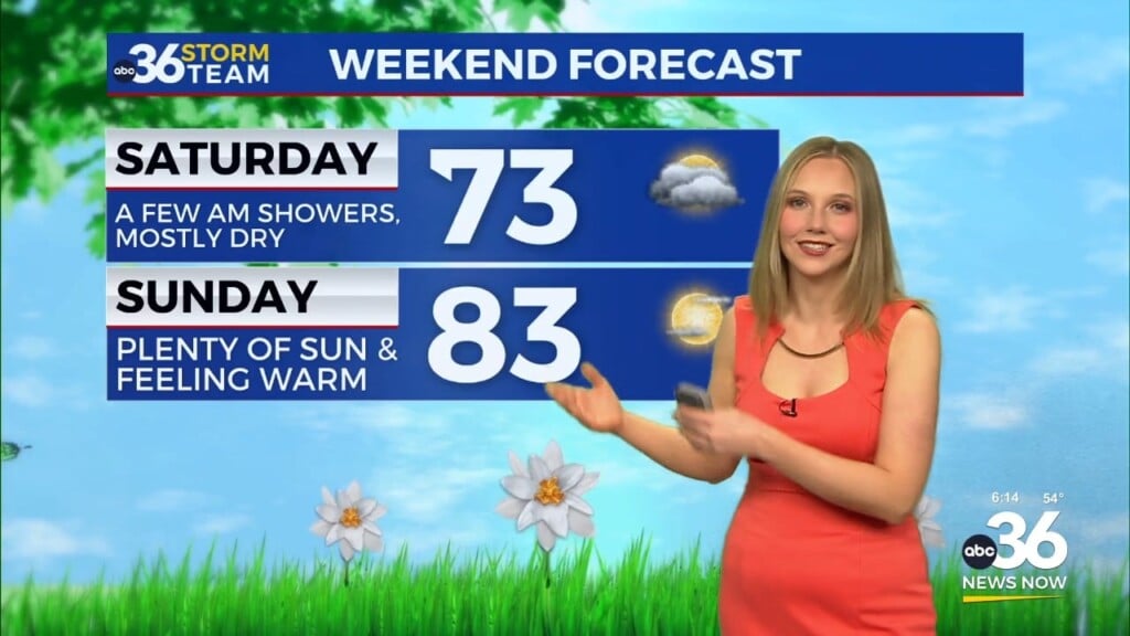
Once that weak front falls apart, the weekend settles into a quieter pattern. Saturday looks mostly dry, though there could be a stray shower hanging around, especially farther south and west. Temperatures will vary a bit by location, but most areas land in the 70s to near 80.
By Sunday, it’s a different story as warm air really surges back in. Highs jump into the low to mid 80s, giving the day a much more summer-like feel.
As you head outside this weekend, be sure to keep in mind the sun! UV will be at high levels, and burns will occur in as little as 30 minutes, so apply sunscreen before heading out. Also, take your allergy medications, as we continue to see high levels of pollen.
More unsettled pattern ahead next week
Starting Sunday night, the pattern begins to shift again. A series of weather systems will start moving through, bringing daily chances for showers and a few thunderstorms into the region.
It doesn’t look like a washout at this point, but expect a more on-and-off type of rain pattern through much of next week. Temperatures, however, stay on the warm side, continuing above normal for mid-April.